|
| 南山神木 Nanshan divine cypress tree |
台湾のヒノキは有名だ。日本では阿里山のヒノキが知られているようだが、実は阿里山に残るヒノキ神木はもう少ない。阿里山以外にもまだヒノキ巨木が残る。今回の宜蘭縣の奥、大同鄉南山村の背後には、まだ多くの樹齢数百年千年単位のヒノキが残っている。歩いたルート脇で数本の巨木を見た。今回は英語で記述します。
Taiwan was once known for its abundant giant cypress trees. Many had been cut down and they have since become very rare. It is fortunate that we still can appreciate them in remote mountains. There are several places in Taiwan where the population of cypress giants is rather high, such as this hiking route called Zuo-Mi trek route (佐米縱走). You can meet several giants as you go along the trail. The cypress giants survived for hundreds even thousands years. If you stand by one of these giants, you realize how tiny you are. You are struck with awe feeling regardless of your religious background. They hold such power to make you humble. Compared with their size and life span many times over our human being, no matter how great you are in the human society, you are just insignificant and powerless in the wildness.
 |
| Start from the south by the route No.7A |
 |
| The location of our two-day hiking activities (indicated by the rectangle) |
 |
| Trail head by the route No.7A |
This hiking is in fact one of our two-day activities. We visited
Mt. Xiangben-shan (香本山) located just north of Nanshan-cun village (南山村) yesterday. We stayed at a minsu inn (民宿) overnight. We have two cars and one of them has been just parked near the trail end of our hike early in this morning so that we can fetch the other car easily after our hike and expedite our movement of going home.
It is 6:40 a.m. now and nine of us are at the trail head by the route 7A (台7甲線, Elevation 1310 meters), which is at south of the village. Many untidy water pipes from nearby streams are running along the route 7A supplying water to the village and cabbage fields all around it. Cabbages are a main local crop.
 |
| Start with a steep but nice trail |
 |
| keep ascending |
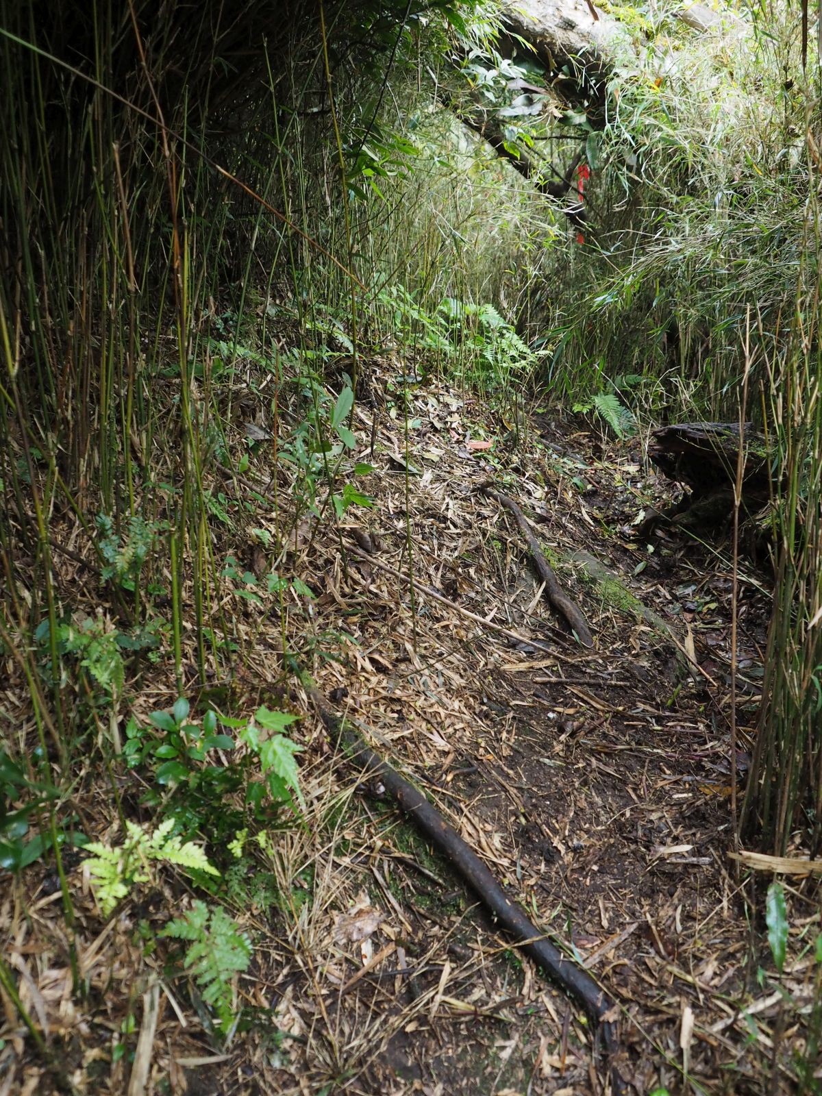
The trail goes on a steep slope leaving a small stream behind. It goes under a wide-leaf tree forest. Unlike the path of
Mt. Xiangben-shan yesterday, it is pretty clear to follow. You just keep ascending and gaining the altitude. At 7:20 we have a short rest at 1520m in attitude. We have gained the height of approximately 200m in forty minutes, which is good. This is due to the nice condition of the trail. I shuffle the position of members in the troop by placing the slowest member just behind me. The speed of the troop is defined by this person, by which the troop can stay together.
 |
| A wide and gentle ridge |
 |
| A very clear path going on the ridge |
As hiking has become more popular partly because no overseas travel is available nowadays due to the pandemic, we hear more reports of missing hikers. Some of them were eventually found dead. It is reported that these hikers often walked alone far behind the fellow hikers. They walked far behind because they walked slower than other hikers. If they had stayed together in a troop, fellow hikers would have surely taken care and no such tragedy of missing person had happened. If you like to walk on your own speed, you can do it alone, not necessary to join a troop. This is my policy of taking people in my hiking activities. Our members are fully aware of this point and very cooperative and helping each other, which I appreciate very much.
 |
| Sun shines through woods |
 |
| Generally good trail but fallen logs too |
At 7:32 we get on a well-defined ridge line down from the summit. As we go higher on the ridge path, sun shines through trees and make the forest bed bright. We had rain all day yesterday and this sunshine is very welcome. At 7:53 the route No. 7A is visible very far down at our left through trees . We are now at around 1730m in elevation, which is more than 400 meters higher from the trail head. We have already covered more than half the climb in terms of altitude.
 |
| Usnea is hanging from tree branches |
 |
| Going by dense cane bushes |
A little after 8:00 we come to a flat place where usnea (松羅) is hanging from branches of trees all around. This gives us a feeling that we are deep in mountains. Green moss on tree trunks adds more of that feeling. A thermometer is attached on a tree trunk showing 8 degree in centigrade, which is obviously wrong. It must be more than 20 now. At 8:20 we make a short break at 1840m in elevation. We keep going up on the last part of climb to the summit. At 9:00 we get very close to the summit where a thick growth of thin cane (箭竹) appears. We keep on going between cane bushes for another several minutes. We get to the summit (elev. 2082m) with a triangular marker at 9:09. This is the highest point of the hike today and we have a good rest before continuing.
 |
| All members at the summit of Zuodehan-shan |
 |
| The junction |
We set off at 9:43. The trail goes rather flat for a while to a junction. The trail left leads to the main ridge between
Mt. Tao-shan (桃山) and Mt. Kelaye-shan (克拉業山) via Mt. Tayafu-shan (塔雅府山). The sign at the junction says it is a long way and the path is not clear. Compared with the trail we have so far traveled, the left path is indeed beaten and covered with thick fallen leaves and grasses. We take a the right trail and go down. The forest bed is full of fern. At 10:12 we find the first cypress giant in front. The back of the giant trunk is hollow, but it is still alive and strong. Our members go near it, which unintentionally reveals how huge the tree is.
 |
| Forest bed is full of fern |
 |
| The first giant cypress |
 |
| Camp site |
 |
| In front of Nanshan divine cypress |
We keep on a gradually descending trail and come to a camp site with water supply at 10:40. It is rather wet but a constant water supply led by a pipe from a nearby stream is very good. We continue our way and get to the second cypress giant at 10:48. This one is as big as the first one and named "Nanshan Shenmu" (南山神木, Nanshan divine tree). A large flat field is in front of the tree and we have a rest for lunch.
 |
| The third giant cypress |
 |
| Three-legged giant tree |
As soon as we leave the Nanshan Shenmu tree at 11:33, we come across a junction. The right trail goes up onto a ridge line while our trail left is going down along the slope on the north side of the ridge. The right trail is obviously less travelled. Going over a rather big fallen trunk, we come to the third cypress giant. This one is also with a hollow back, but is yet very lively. On our way further down, we come across a big tree with three legs and big hollow room under it, which can accommodate several persons.
 |
| Damaged cypress tree |
The trail then starts a gentle ascent and leads to another cypress giant. This one was cut off at its middle. This was done by a group of illegal loggers in 2012. A board next to the tree explains that 20 members of the group were later arrested. Cypress trees have a high economic value. Even though efforts have been made to eradicate illegal logging, not yet complete. Recent increase of hikers may add more chances to expose illegal actions of this kind and may hopefully have some deterrent effects. Fortunately this particular tree is not dead. The biggest trunk was cut off half, but the three remaining thin trunks are thriving.
 |
| Notice by the tree |
 |
| Moss-covered big stump |
 |
| Straight cypress giant |
As we go on the trail we see a smaller giant cypress and a big stump covered with green moss. This giant was sadly cut off completely at its foot. We keep on ascending and meet a very straight cypress giant in front. Our trail gets leveler and passes mussy sections. The trail coming over the ridge line meets ours from right and we soon come to an open flat place at 12:30. A hut stands just nearby. Its opening is sealed with planks and tree branches. The plate by the opening says Nanshan village cypress trail field tradition and culture station (南山部落檜木步道山林傳統文化說明站). This hut must be used by the local people.
 |
| A hut of the local people |
 |
| Mist is getting thick |
 |
| Playing with the swing |
After a short rest at the open space, we set off for our next and last peak, Mt. Miluo-shan (米羅山). The weather has turned from sunny this morning to very thick misty now, making visibility only a few meters. The trail goes up a little and passes by an unmarked junction. It goes right side of a small peak and meets another unmarked junction. The ridge gets very narrow. Another and final cypress large tree shows up on our right.
At 13:30 we come to a place where a tall swing is hanging high up from a branch of a nearby tree. It is suspended with a thick rope and steel cable, which looks solid enough for play. All members but one take turns to play with it for a while, which is fun. A short dip and ascent leads us to a flat and wide summit of Mt. Miluo-shan (elev. 1750m) at 13:51.
 |
| All members at the summit of Mt. Miluo-shan |
 |
| Going down the last section |
We leave the summit a little after 14:00 and go down a steep descent. We come to the trail end (elev. 1580m) in 10 minutes, which is just by a cabbage field. If the weather is fine, a nice and wide view should spread in front of us. Today it is very misty and you can only see our member walking just a few meters apart. Several local farmers are tending the field besides the road which we go down. They are sprinkling fertilizer.
At 14:25 we come to the spot where our car is parked. Two of our members take the car and go down to fetch the other car. The rest of us keep going down for another couple of kilometers and wait at a place on the way down. The two cars are coming up and meet us around 15:15. Misty light rain which started a short while ago turns to heavy rain as soon as we get on cars and start our way home.
 |
| Trail end in thick mist |
 |
| Farmers at work in a cabbage field |
We have a dinner on our way at Yulan (玉蘭) by the route No. 7 (台7線) and back onto our way home. The Hseshshan tunnel (雪山隧道) known for its notorious congestion on weekends proves very passable this time. Surprisingly we have no stopping at all and arrive at Taipei a little after 20:00.
The hike today gave us no view to enjoy and even rain at the end. But meeting many cypress giants is really nice and memorable. We walked 9.2km with a total ascent of 1070 meters and decent 1100 m, taking 8 hours and half including a rather ample rest time. The route physical index is calculated to be 29.