|
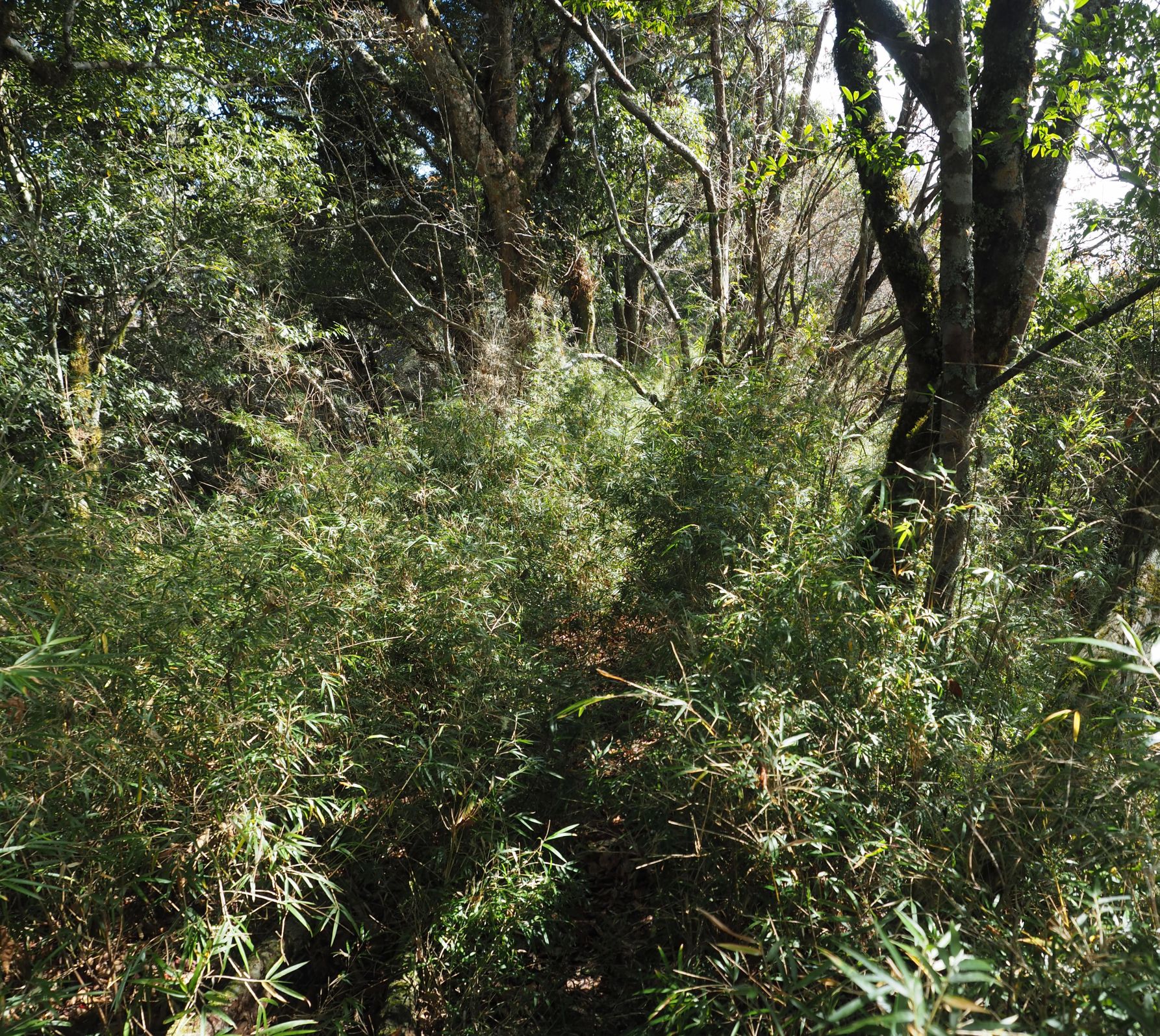
| 大崙頭山山頂 Summit of Mt. Daluntou |
2021年があけた。昨年は武漢肺炎で世界中がかき回された。今年もまだ肺炎が猛威を振るっている。台湾はちょうど昨年の今頃に世界に先駆けて中国からの入国を制限するなど、対策をとったおかげで、被害の程度は少ない。海外から持ち込まれるウィルスに対しては、国民も政府も敏感に対応している。
台湾北部の長い雨がちの天気が年末年始には少し休みが訪れた。日本では新暦正月だが、台湾は基本旧暦の正月を越すため、1月1日だけが休みだが今回は土日とつながったので、日本でいう三が日は休みだ。最後の3日は天気に恵まれた。2日の晩に天気が良さそうなので3日はどうするか考えいるときに、Taipei Hiker Clubのメンバーから山に関する質問があった。そこで自分も一緒に行くことにした。目的地は、10年近く前に初回訪れ、その後数回行ったことのある台北市內湖區の低山である。山頂や稜線道は同じ部分もあったが、その前後は初めて歩く道を選んだ。同じ山頂でもその道が違ったり、上り下りを逆にとるとまた印象が違う。
台北近郊の低山ルートは、ほぼほとんど歩いたので、今後大衆路線の記載は特別な事由以外は英語で記述します。日本語での記事は、過去のものをご覧ください。山名などを最上部の検索欄に入れていただければ、当該の山を含んだ記事が検出できます。低山でもいままで足を踏み入れたことがない場所は、まず日本語で記述します。
==================
 |
| Start from MRT Xihu station to Jinglongsi temple bus stop |
 |
| Elevation profile of the hike |
For hiking lovers Taipei is a good place to make it a home. It is surrounded by hills and mountains with nice trails going over them. Wherever you live in Taipei, you can get to any trail in a matter of less than one hour. An only drawback to this hikers' heaven is bad rainy weather in winter. As a matter of fact it had rained for almost a month last December. It finally stopped for a few days at the turn of a year. I made
a hike from Taoyuan (桃園) to Taipei Huilong (迴龍) with a few friends on the last day of year 2020 under cold cloudy sky.
 |
| High-rise buildings viewed from Mt. Jiandaoshi |
The weather forecast showed that the third day of the new year would be sunny and it would turn bad again soon on the next day. Just when I was wondering whether I should go out for hiking, I received a message from a hiking friend asking some routes about Mt. Dalunwei (大崙尾山). I offered to go with her as it would be refreshing to take a walk to familiar places on a sunny break. So turned up my first hike of the new year.
 |
| Mt. Dalutou (Peak on the far left) and Bishanyan temple viewed from Mt. Jianaoshi |
The trail going over Mt. Dalunwei and its adjacent peak Mt. Daluntou (大崙頭山) is designated a part of long around-Taipei trekking route and maintained by Taipei municipal government. We started from MRT Xihu station (西湖站), up to Mt. Jiandaoshi (剪刀石山) and walked over the connecting ridge to Mt. Daluwei trail. We passed over the two peaks, down to Baishihu (白石湖) valley and crossed Baishihu suspension bridge, and further down to Jilongsi temple (金龍寺) to complete the hike. The sky was blue and sunny all the way, which was very nice after a long period of gloomy rainy days.
 |
| Baishihu suspension bridge |
 |
| passing through a residential area to the trail head |
I meet my friend at Xihu station at 8:00 and head for the trail. We pass through a residential area and signs command silence for hikers when passing through. In about 10 minutes we reach the trail head of Mt. Jiandaoshi. I have been to this place several times in the past and the last one was three years ago, which happened also to be a sunny break after many rainy days. There are two routes up to the summit of Mt. Jiandaoshi. We take the right one, which first goes rather easy incline heading for Zhuyuesi tempe (竹月寺) and steep ascent on a bare rock section . The left route is not easy either as it goes up with steep steps. |
| Explanation of the Big Rock Wall |
 |
| the Big Rock Wall section |
We come to a junction where we take left to go up to the ridge route above. It soon gets to the bottom of a big bare rock section. The sign by the trail tells this is the Big Rock Wall. If you are a veteran hiker this is nothing difficult but for beginners it may be a thrilling experience. As you go up, you can have a nice open view of the city from the bare rock. The trail meets a ridge route which leads from the left trail at the trail head below. At 8:48 we reach a viewing deck of Lunjianting (論劍亭) and go up to the second floor. The nice view spreads out in front of us. Neihu (內湖) is just below our feet and 101 and other high buildings are beyond Jilong river (基隆河).
Nangang mountain range (南港山) lays left of the high bulidings and
Mr. Erge (二格山) and its nearby peaks behind Mr. Nangang are barely visible in haze.
 |
| A view of the city from the observation deck |
 |
| A view in the direction of Xizhi |
After a short break on the viewing deck, we go up to the top of Mt. Jiansaoshi(elevation 258m). With big bare rocks on either side of the trail, the summit gives you a nice view and photogenic spots. A new resting bench with a roof over it has been elected by the trail and the round-roofed stamp stand has been removed since my last visit. We then follow the trail to Mt. Dalunwei. The ridge route goes down with steep incline and passes a junction leading left to Neihu. It goes up again to a peak Lunjianshan (論劍山), which I never knew it has gotten a name. The trail goes down and up again while it diverges a trail down to Neihu on the way. At 9:30 we come to a junction with a sizable shelter where I remember people were enjoying Karaoke on my last visit a few years ago. Today it is empty.
 |
| Heading for Mt. Dalunwei |
 |
| A big shelter by the four-way junction |
 |
| Trail to Mt. Daluwei |
This is a four-way junction. You can take a right trail to Mt. Dalunwei, while we take the straight one going over the ridge, which I have not yet walked in the past. The ridge trail leads to a paved road in several minutes. The hillside above the road is, my friend says, the place where their old family cat was buried after her long life. My friend wanted to make a visit to their beloved cat and so we come. A trail starts at the side of the road and we take it to Mt. Dalunwei. The trail soon diverges into two ways. Either trail can go up to Mt. Daluwei summit. We take a right one and soon find it is paved with concrete. There was an amusement park near hear a long time ago and this pavement may have been for that. Some animal objects are left in the woods. |
| Reminiscence of the amusement park |
 |
| Climb steep steps |
 |
| A triangular marker stone is just by the shelter |
The trail meets another one on its left. After a short flat section, we ascend a long stone step incline. At 10:03 we come up to a pavilion. A triangular marker stone is just next to the pavilion, showing this is the summit (elevation 451m) of a very wide and plat top of the mountain. We make a coffee break under the roof for some time and then walk over to the edge of the flat summit and down the long way. We see Mt. Daluntou in the near distance on our way down, which is our next destination. The trail come to its end at 10:28 and we step onto a paved road. Many cars are parked bump to bump by the road sides. The electric billboard by the trail head shows the current temperature is 16.8 degree.
 |
| The Dalunwei trail exists to a paved road |
 |
| Dalunhu pond |
 |
| Frogs are the main motif of the trail |
We walk on the paved road for ten plus minutes and see a pond called Dalunhu (大崙湖) on our right. On the opposite side opens a trail to Mt. Daluntou. The trail soon divides into two paths, and ether way you can reaches the summit. We take a left one with dirt surface while the right one is stone paved. At 10:54 we reach the flat top of the mountain. The summit is pretty wide and stone paved. It has a viewing deck called Chenfengbao(乘風堡). Quite a few people are resting on and around the summit platform. You can have an unobstructed view towards
Mt. Guanyhin(觀音山) in a far distance and Yangmingshan peaks. The top of
Mt. Qixing(七星山) and others are covered with clouds. On the top of the viewing deck you can have a view of the other side, which includes mountains like
Mt. Qilong(基隆山),
Mt. Wufen(五分山),
Mt. Jiangziliao(姜子寮山) and
Mt. Sifen(四分尾山) and the valley of Xizhi(汐止) in their front.
 |
| Nice and wide view from Mt. Daluntou |
 |
| Yuanyanghu pond |
After a long break of 35 minutes we leave the summit and head for Baishihu. The trail soon divides a path to its left and then on to the right. We take this right path down. On the way down we take left and stop over at Yuanyanghu pond(鴛鴦湖). This pond is man-made presumably for irrigation down in the valley. A viewing deck is elected in front of it. We have a lunch on the deck. It feels very good under the warm winter sun, which could be very unbearably hot in summer.
 |
| A traditional three-side house |
 |
| Another frog motif for a bus stop |
We resume our walk down at 12:06. The stone step trail ends in about 10 minutes and a paved road continues. Seeing a traditional three-side house (三合院) beyond a small pond we continue on the paved road. We pass by a bus stop and take a trail with steps down. The trail meets a busy paved road with a lot of people strolling along. We have come into a tourist area. Food stands are here and there selling to passerby. We keep on our way to Baishihu suspention bridge and cross it.
 |
| Baishihu valley |
 |
| Baishihu suspension bridge and its explanation board |
 |
| Passing by Bishanyan gate |
We pass by the gate to Bishanyan temple (碧山巖) at 12:44 and walk down Bishan street (碧山路) where many cars are coming up one after another. At the halfway down we take a right road where a sign indicates the direction of Jinglong temple. We leave a paved road and follow a pedestrian path down to Jinlongchansi temple (金龍禪寺). We stop by the temple for a while and continue down on a pedestrian trail parallel to the paved road. Upon completing the trail we walk over to Jinlong Street (金龍街) and wait for our bus to come. It is 13:39 and rather early but this is it for today.
 |
| JInlongchansi temple |
A couple sections of today's route was new to me, which I find a fun to walk. We walked for about 5 hours and a half including rests. The total ascent is about 600m and decent 620m with 10.5km in distance. The route physical hardship index is calculated to be 19. The trails are all well maintained with good direction signage.
 |
| At the summit of Mt. Daluntou |