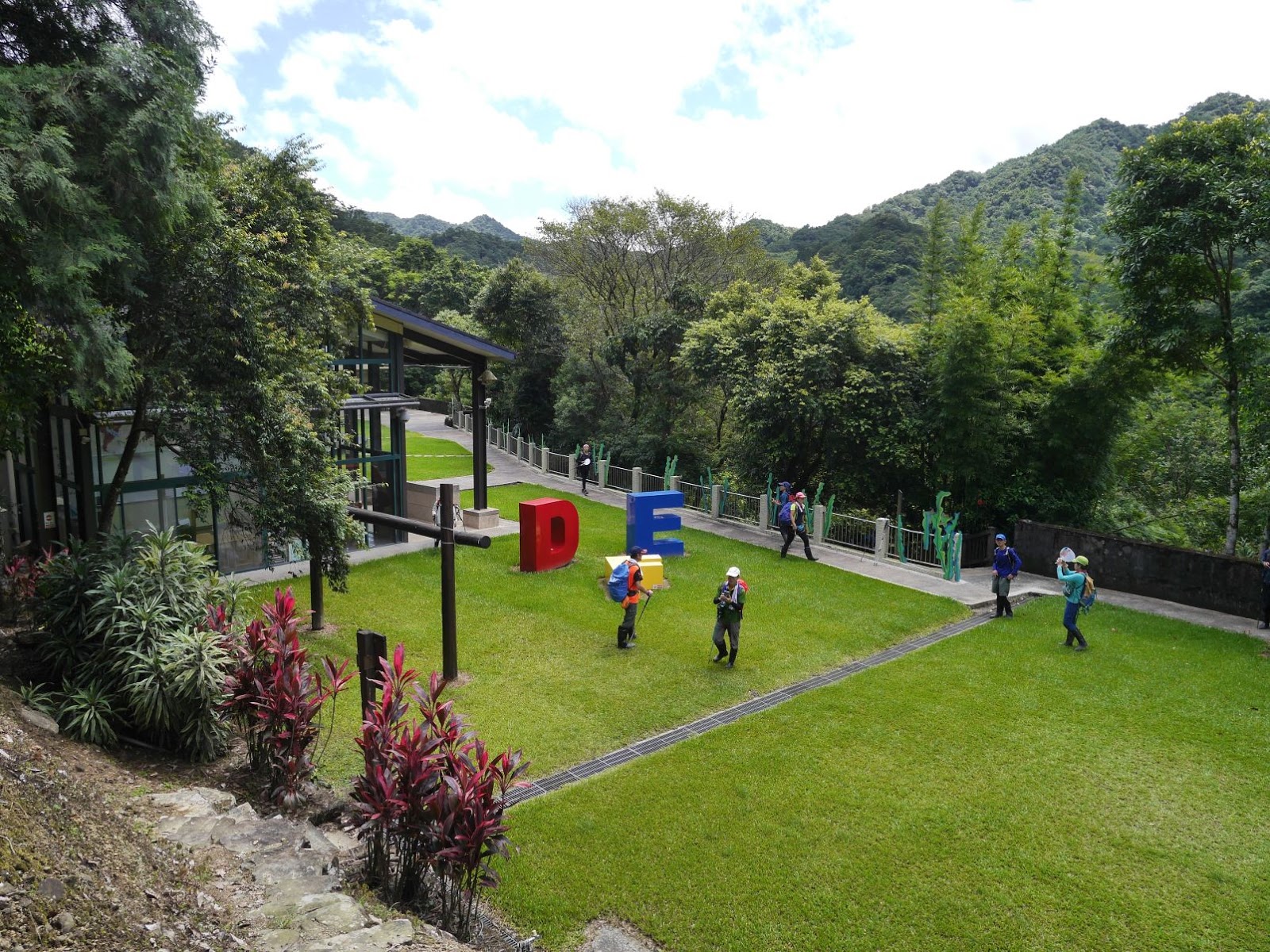
|
| The summit of Mt. Gaoding (高頂山), Taipei is visible in the distance |
先週末の白鹿台風により、台湾南部は影響があった。北部はそれほどの被害はないが、土曜日は天気が悪かった。予定の登山は計画を延期した。台風が去り天気が回復した。今回は、好天の下での山登りである。標高が数百メートルの山登りは、まだ暑い。そこで、ゆっくりした行程でなおかつ水の近くを行くルートを選んだ。
対象の山や道は、ほとんど数年前によく訪れた場所だ。その後ずっとご無沙汰していた。その間に、これらの場所はとても多くの登山者が訪れる場所になっている。道もはっきりし、状態がよい。筆者が初めて歩く場所としては、荷蘭古道の途中東線部分と平溪步道がある。荷蘭古道から北五指山の草原に登り、下って內雙溪古道を用水路(坪頂古圳)の取り入れ口まで行き昼食休憩、用水路脇から坪頂古圳歩道を行き、その後平等國小脇から平溪步道を下った。今回は、英語で記述します。
==========================
 |
| U shaped route, walking counter-clock wise from the right bottom |
 |
| Walking elevation profile |
Yangmingshan (陽明山) mountain range stands just north of the metropolitan Taipei. Its closeness and pretty easy access makes mountains and hills of this area very popular for hikers and holiday makers alike. I have visited many times and I covered almost the entire area in the past few years. I am not so fond of repeatedly visiting the same location, however there are a few locations that still attract me like the open grass filed of Mt. Beiwuzhishan, where we passed on this trip.
 |
| Looking north and east from the grass field |
The sizable area of the geological Yangmingshan mountains belongs to the National Park. The park authority maintains hiking trails in the park. The trails get very busy particularly on sunny weekends and you will come across countless hikers on the trails. There are, however, trails that are not directly under the authority, which have been used by local people for many years, mostly before automobile transportation became common. They are more primitive dirt paths while the official trails are mostly stone-paved. If you step in on those non-official trails, you can enjoy quite hiking away from most of hikers going on the official trails.
 |
| Looking over the metropolitan Taipei and its surrounding mountains |
As the hiker population grows, these seclusive trails have attracted more hikers and you see more people there compared with a few years ago when I visited often this section. There is very few signage on these trails, unlike other mountain areas where you see many sign tapes and directories along the paths. If you want to enjoy these trials, you have to have a map and a skill to navigate unmarked trails, though. The park authority do not recognize these non-official trails and basically make no maintenance.
 |
| Viewing Mt. Qixing over the grass field |
-----------------------------------------
 |
| S18 bus at the terminus stop |
We met at MRT Jiantan (劍潭站) station and took a 7:30 S18 bus to our starting point, Pingding irrigation channel trail head bus stop (坪頂古圳登山口站), the terminus. It is a little after 8:00 and the sky is blue with a few patches of white cloud. We have 17 people despite today is Friday. A sewage truck is sucking a movable toilet by the bus stop and unpleasant smell is drifting toward us. We quickly take off to our way.
 |
| The shrine by the road |
 |
| Crossing the bridge |
The paved road goes up at steep grade. In a few minutes we pass by the head of Daqitou trail (大崎頭步道), which leads to Qingfengting (清風亭) pavilion. A farmer is busy tending his crops on the field on our right. We stop by a small shrine (土地公廟) and I make a briefing of the hike. We will first take Helan (meaning Holland) old trail (荷蘭古道) to go up to Mt. Beiwuzhi (北五指山) grass filed. After passing the highest point of our hike, we go down to Neishuangxi old trail (內雙溪古道), which goes along a water stream. We take a path along Pingding irrigation channel (坪頂古圳), which diverges from Neishuangxi stream and up to Qingfengting pavilion. We start our decent through Pingdengli (平等里) village and take another trail, Pingxi trail (平溪步道) down to Jiaokengqiao (礁坑橋) bus stop. This is a kind of U shaped route and coming close back to our starting point.
 |
| A view over the valley |
 |
| A dead macaque |
We resume our ascent on the paved road and come to the trail head at 8:25. The stone-paved path goes over the valley of Neishuangxi river with Tianweizai bridge (田尾仔橋). The trail goes up steeply with stone steps. 10-minute ascent brings us to Dengfeng water channel and we take a short rest by the water. This water channel is for irrigation and leads to the Neishuangxi river at a distant point. We go up to the paved road above. The wide view spreads in front of us.
Mt. Daluntou (大崙頭山) is behind the crop field and beyond the valley and
Mt. Wuweishan (鵝尾山) on our right.
 |
| Helan old trail head |
 |
| Going on Helan trail |
As we head for the trail head of Helang old trail, a member find a money is laying on the side of paved road. We come close to find that a small blood pool is below its head. Apparently it was struck by a car and died. The trail head is just by the entrance of a coffee shop and clearly marked. One may be intrigued by the name that carries Holland where nothing imaginable can be related to Holland here in a remote mountain. There are a couple of explanations found on internet. One is this is a path opened by a Dutch troop to make a surprise attack on a Spanish troop occupying the northern Taiwan in the 17th century. The other explanation goes like there was a military camp on the mountain under the Qing dynasty. The solders mainly came from Henan (河南) of China. There was a error in conveying of the two words and it was mistakenly named as Helan trail.
 |
| The junction of two separate routes of Helan old trail |
 |
| Crossing a small stream |
The Helan trail goes along the side of mountain for a while and comes to a junction at 9:05. This is where the trail splits into two, one goes over a sub ridge running down from Mt. Gaodingshan (高頂山) and the other goes up along the valley and then up to marge with the other to become one again. We take the right path. The trail looks a little less used than the other, though the path is clear enough to follow. At 9:19 we cross a small stream. The incline gets steeper and steeper as we go up. We come to a flat platform trimmed with stone-piled wall, which obviously was made by men for some purpose. This may have been a terrace field in the past. We climb onto a ridge and come out into an open grass filed at 9:48. We take a rest here.
 |
| All members on the grass filed |
 |
| Heading for Mt. Beiwuzhi summit |
Gentle breeze blows over the field. The sun ray is pretty strong, but it feels good on this green field with breeze. The Bailu typhoon that swept through southern Taiwan last weekend blew away smog over the northern Taiwan as well. You can see as far as
the Xueshan mountain range and
the first section of the Central mountain range, not to mention those peaks in front. They are only visible under such a good weather condition.
 |
| Viewing the ocean and Jilongyu island |
 |
| Triangulation marker of Mt. Beiwuzhi |
We head for the peak of Mt. Beiwuzhi (788m in elevation) and stop by the peak of Mt. Gaoding. Actually they can be identified as a peak only due to their triangulation marker. The flat green fields under such a nice weather gives everybody happy and joyous. Mt. Qixing (七星山), the highest peak of the Yangmingshan range, stands behind grass field of Qingtiangang(擎天崗) and Mt. Zhugao (竹篙山). Adjacent peaks are very clear too. Jilongyu (基隆嶼) island is visible over the filed.
 |
| Mt. Qixing viewed from Mt. Beiwuzhi summit |
 |
| Passing by a stone wall |
We walk over to the edge of the grass filed and takes a path down. There are tapes attached to a bush indicating the direction. Once you get on the trail, it is easy to follow. The trail is clear and passes by the low stone wall, which must have been made by local people for some purpose. We get down a dried stream bed and cross it to join another trail. We take left and go down a steep section. We reach the bottom at 11:05 where Neishuangxi flows by. We take a break. A thermometer attached to a trunk nearby shows 28 degree.
 |
| A break by water |
 |
| Crossing Neishuanxi river |
We follow Neishuangxi old trail down. It goes along the stream and comes to a junction in a few minutes. We take right and cross the stream. The trail goes on the right bank, with a little ups and downs. We reach the water intake of the irrigation channel 11:43. This is very close to water, and a nice place to be on a sunny summer day. We have a long 45-minutes lunch break.
 |
| Lunch break by the channel water intake |
 |
| Pingding old water channel |
A few members want to stay longer and the rest of us leave at 12:30 The water channel was built by local people in the year 1834 and there are two more channels taking water from the same Neishuangxi river at a lower level than this channel. They are respectively called Pingding old channel (坪頂古圳), Pingding new channel (坪頂新圳) built in1849 and Dengfeng channel (登峰圳) built in 1909. We follow the water channel for twenty minutes and meet the stone-paved Pingding water channel trail. The trail goes along the channel for another couple of minutes. The channel enters a tunnel to the other side of the mountain. The trail goes up a little and Qingfengting pavilion shows up in front of us. We take a last rest under the pavilion. Nice breeze blows through, which is really nice.
 |
| Qingfengting pavilion and junction |
 |
| Passing by Pingding primary school |
At 13:20 we leave for the last leg of our hike. The stone-paved trail ends at the trail head in a couple of minutes and we keep decent on a paved road. It passes by a bus stop Neicuo (內厝) of S19 bus service. We do not take this bus but keep on hiking to Pingdengli. We take left by a police station and go down by Pingdeng primary school. A sign post shows a way to Pingxi trail at a junction nearby.
 |
| Looking over Pingdengli village, Mt. Qixing is in the distance |
 |
| Pingxi trail head |
A paved road which we have just made turn leads us to the head of Pingxi trail. The trail starts with a steep stone steps. We still have a three-hundred-meter height to decent. The trail is in good shape. This trail must have been used by the local people before motor roads to Pingdengli were built. After a long decent of stone steps, it levels out and passes by terrace gardens and houses. A couple of members buy home-grown vegetables at one of the houses by the trail. The trail breaks off for a while to go on a paved road and then another section of stone paved trail goes down. We reach the bottom of the trail at 14:16 by a big Buddhist temple. The paved road leads us to Jiaokengqiao bus stop on Zhishan road (至善路) at 14:20. Our #S18 bus comes after twenty-minute wait.
 |
| A view from Pingxi trail |
 |
| At Jiaokengqiao |
Our hike lasted about six hours and fifteen minutes including rest time. The distance was 11.2km and the total ascent 670m, decent 780m. This is an easy hike with a lot of rest. This route gives you a good view from the grass fields on top and nice water side on the second half way, which is good for summer time. This is recommendable to any hiker except on foggy days which you will have hard time finding a route on the grass field.