 |
| Viewing Pinglin junction far in the valley from the summit of Mt. Kaiyanlun |
今まで何回か訪れている坪林の胡桶古道付近の山を歩いた。
昨年6月に訪れた時に、草深く歩くことをやめた東坑山鞍部から北に開眼崙へ伸びる尾根も、昨年11月からボランティアの手が入り、道が良くなった。今回は、前回歩けかなった建牌崙への部分も含め、まだ歩いていない道を歩いた。胡桶古道を歩くのは、これで5回目となる。この山行は8割方のルートは初めて歩くが、何度も訪れている地域なので英語で記述する。このようなボランティアにより、道が良くなり歩けるようになった人気のない山道の情報は、人脈がないとなかなかわからない。台北に住む外国人は、陽明山などの良く知られたルートでは多く見かけるが、このような道を歩く外国人ハイカー(筆者も台湾では外国人だが)は皆無といってよい状態だ。それもこの記事は英語で書く理由です。
I see many foreign hikers around Yangmingshan (陽明山) and other well-known trails near Taipei, while almost none on the trails and paths going over other mountains and hills in the vicinity of Taipei. These trails are very often obscure. Even local hikers seldom visit them. The trails are covered with thick vegetation. You have to struggle through it. Nonetheless every once in a while volunteer hikers come in and clear the trails of this kind for easy passage. Their work is very good and give us chances to hike these trails again. Sadly the mighty wilderness of the semi-tropical Taiwan will claim back as soon as the work is over. Grasses and bushes grow again quickly and the trails get hard to go through after a year or so. It is not easy to keep track of the work of volunteers unless you have some access to this circle of volunteers, not to mention for hikers who have no or little command of the local language.
 |
| Round hiking route |
 |
| Hiking elevation profile |
 |
| The location of hiking area relative to Taipei |
The trails of this article are just of that kind. Except Hutong old trail (胡桶古道) and some adjacent trails to it, the trails in this area are not so often visited. Some trails that we hiked this time had been choked with grasses and bushes until late last year when volunteer hikers cleared the passage and affixed ropes at steep inclines. These sections are now in good shape and weeds are cut out widely from side to side for no obstruction. I place this article in English because I would like to convey message to those English speaking hikers; If you have a mind of exploration, do not go to the same crowded trails again and again and try these nice and much less-known trails. You will appreciate different features of northern Taiwan wilderness and the history of the area.
My previous two articles of this month are also hikes on this kind of trails.
 |
| All participating members of the day at Mt. Kaiyanlun summit |
------------------------------
 |
| trail head |
The area visited for this trek lies east of Pinglin (坪林) township and not far from the highway No. 5 Pinglin junction. Close the location is, the final access to the trail head is not that easy.
You need to walk from Pinglin Guozhong (坪林國中 junior highschool) bus stop, which takes one and a half hour. In order to save time, fourteen of us share cars of fellow hikers and drive directly from Taipei to the trail head at Huliaotan (虎寮潭). We meet at 6:45 and take a ride on three cars of our hiker friends. The traffic on the highway is pretty smooth and we arrive at the trail head in less than 50 minutes.
 |
| A golden lever leads a way |
 |
| A dirt trail goes by the tee field |
The trail starts by the side of a house with the address of Huliaotan #11 (虎寮潭11號) and leads to a tee tree field above. A golden lever dog apparently of the house shows up and leads us in front for a while. A dirt trail goes up by the side of the tee tree field. The path proceeds on a steep incline between cut-out tall grasses. At 8:13 we get on a sub-ridge and follow it up in sparse thin woods. Weeds are neatly cut out. The leaves are still green proving the work was recently done. We reach the main ridge running from Mt. Dongkeng (東坑山) to Mt. Kaiyanlun (開眼崙) at 8:30, gaining about 230 meters of altitude from the trail head.
 |
| Going up the sub-ridge |
 |
| A suspension bridge over Beishixi river |
Before heading to Mt. Dongkeng we make a short round trip to Mt. Kaiyanlun in the opposite direction. The trail on the main ridge is also very clean and has some small ups and down. In twelve minutes the trail comes up to the summit of Mt. Kaiyanlun (elevation 534m). This is a nice vantage point. Except west side you can have an around view. Peaks standing across Beishixi river (北勢溪) spread wide like a long fence. The nearest one is
Mt. Shigongjiwei (獅公髻尾山) showing many patches of tee tree field here and there on its belly. The farthest one in sight must be
Mt. Ganjiao (柑腳山). The pointing peak of
Mt. Meiziliao (楣子寮山) is easy to identify.
 |
| Peaks across the Beishixi river |
 |
| Very steep ascent |
We take the same path back to the junction and go further towards Mt. Dongkeng. The ridge ascends with very steep incline. Long aiding ropes are fixed to tree trunks. As we go up the ridge gets narrower. At 9:23 we see a new sign of Kongzilun (硿仔崙) on the top of a peak. The sign shows the elevation of 601m. The other side of the peak is very steep too. The narrow ridge continues its ups and downs and another named peak Houtonglun (猴硐崙 elevation 630m) is reached at 9:41. This ridge route is not so easy as my original expectation. If there were no work of clearing, it would be much tougher to go through, though.
 |
| Narrow ridge |
 |
| At Kongzilun |
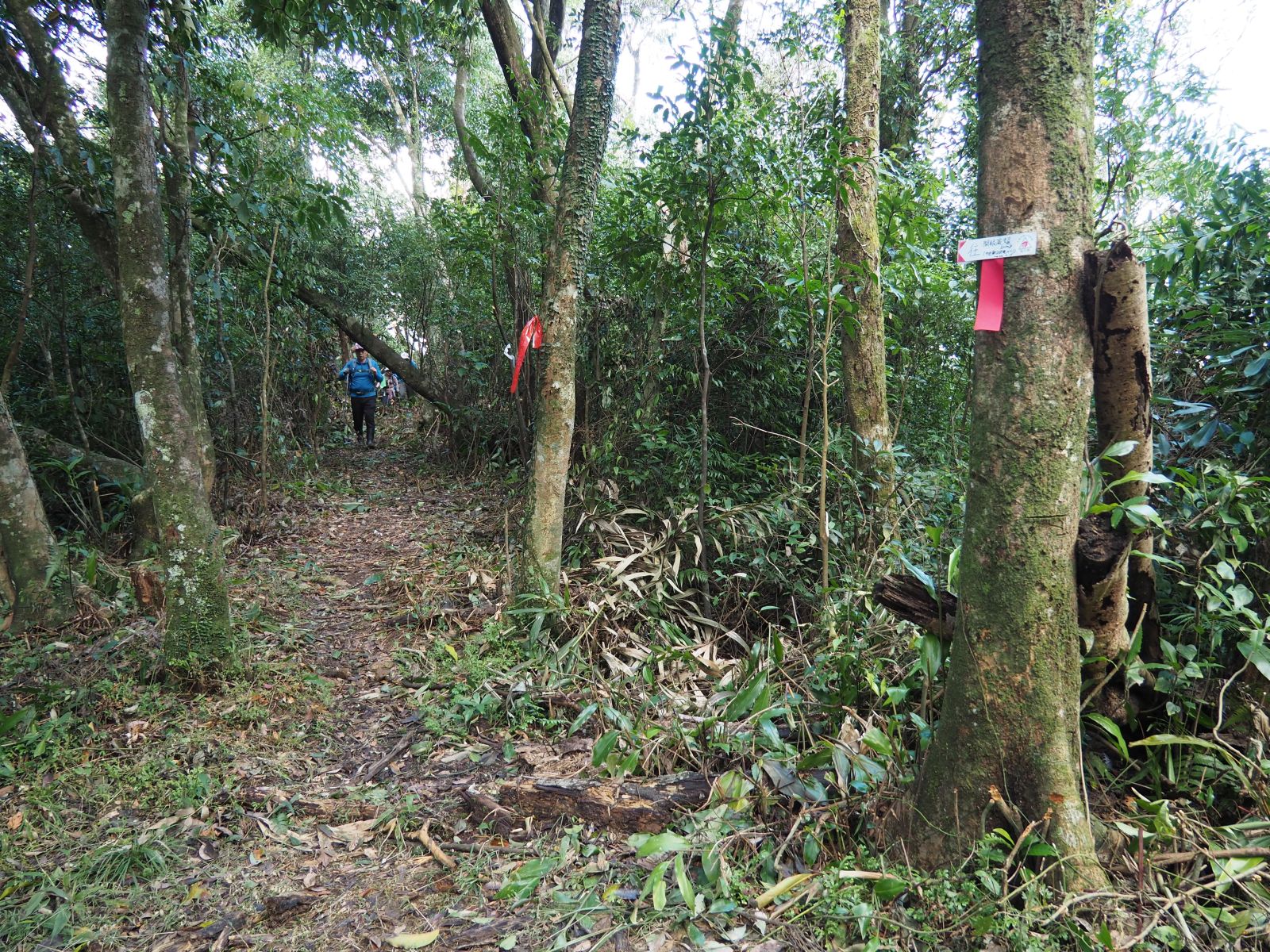
At 9:48 we see a sign of Houtongwei (猴硐尾) on the lowest point after the peak of Houtonglun. This is a junction where a trail diverges to west down to Dongkeng #3 (東坑3號) house. We have a short rest here and continue our way up. The ridge turns to be very broad and much less steep. The trail goes through neatly cut-out undergrowth and reaches Hutong old trail at 10:15. We came here last in June last year and saw the trail we have just come through was pretty much closed with overgrown vegetation. Compared with that time. the trail now is a super highway!
 |
| At Houtongwei |
 |
| At the junction with Houtong old trail |
 |
| Almost the same location as above last June |
 |
| Trail to Mt. Dongkeng |
We cross the Hutong old trail and keep our way up to Mt. Jianpailun (建牌崙) via Mt. Dongkeng. The trail again gets steeper. This section of trail all the way to Mt. Jianpailun has been cleared recently and very easy to follow. At 10:23 we reach Mt. Dongkeng (elevation 775m) . This is not a peak but a place where a triangulation marker is placed. The all side but north is covered with trees. To my surprise from the open side the distinctive triangle peak of
Mt. Jilong (基隆山) and
Mt. Wufen (五分山) are visible beyond Mt. Ganjiao.
 |
| Mt. Dongkeng |
 |
| Mt. Wufen (left) and Mt. Keelung are visible over Mt. Ganjiao in front |
 |
| Jianpailun cave |
 |
| Climbing the steep section before the summit |
Taking a short break and we resume our way up to Mt. Jianpailun. About 15 minutes of ascent takes us to a rocky section where moss-covered big and small rocks prevent us from smooth passage. A big cave opens its mouth by the trail, which probably can accommodate two or three people inside. The peak of Mt. Jianpailun is visible through sparse woods up in front. The trail soon passes a very steep section with aiding ropes.
 |
| Northward view just beneath the summit, Mt. Shuzhuanlou on right |
 |
| Flat and wide summit of Mt. Jianpailun, free of weeds |
At 11:17 the flat and wide summit (elevation 940m) shows up in front. The area is neatly cut out of undergrowth, and trees and weeds of the north side are all gone, enabling a very wide view. You can even recognize Yangmingshan at very far end and those peaks of Yilan (宜蘭) like Mt.
Yingziling (鶯仔嶺) on the other far end. This is a great vantage point while the vegetation stays low. While having lunch at the summit another group of hikers, some of whom ever joined my activity in the past come up and greet us.
 |
| A panoramic view from the north side of the summit |
 |
| View towards Yilan, the peak on left is Mt. Shuzhuangding |
 |
| Steep climb down |
We take off for our next destination Mt. Shuzhuangding (梳妝頂山elevation 931m) at 12:03. Mt. Shuzhuangding is of almost the same elevation as Mt. Jianpailun but there are several small peaks in between. As we go down, the very steep section shows up. Waiting for all members coming down we go on our way. At 12:56 we see an old sign of fading letters showing a trail down left to Hudong old tail. This trail looks very hard to go through as no clearing grasses has been made. We pass another junction also going down to Hutong old trail at 13:00. After passing a junction right down to Jianshahu #12 (尖山湖12號) house, we ascend to the summit and reach it at 13:18.
 |
| A junction with old signs, the trail is covered with vegetation |
 |
| last ascent to the summit of Mt. Shuzhuangding |
 |
| At the summit of Mt. Shuzhuangding |
 |
| Seeing Mt. Shuzhuanlou over vegetation |
This is my third time to visit the summit with an abandoned weather observation hut. We take a 20-minute break and start our way down. 10-minute decent takes us to a four-way junction. If you follow the ridge route you go up to
Mt. Shuzhuanglou (梳妝樓山), and take right you go on
Beiyi old trail (北宜古道) leading to Toucheng (頭城) of Yilan, We take left and down to Hutong old trail. This section is clear too. In about 10 minutes we see water is running along the trail. We see a junction of trail going up left to the ridge between Mt. Jianpailun and Mt. Shuzhuangding, which we passed a while ago. Going further down water stream becomes a small creek running on our right. As we pass woods of Japanese cedar, another trail diverges left up to the ridge. Finally at 14:21 we get down on the Hutong old trail.
 |
| four-way junction, taking left one down |
 |
| Junction of Hutong old trail |
Turing left we go on the old trail. Soon we come to a sign post showing a direction of the ruin of Hutong village down on our right. In the deep mountain Hutong village has been deserted for more than a century. A story tells that the village was devastated by a raid of police force seeking fugitives of anti-Japanese activities in the late 19th century. After Japan took over the control of Taiwan in 1895, groups of people opposing the new rule propped up here and there in Taiwan. At one time one of the opposition groups advanced into Taipei, but eventually they lost their ground and were hunted down. The Hutong village was said to be one of their hideaways. The police force led by a local informer came and attacked the activists in the village. One theory says that a couple of hundred people were killed while another says the death count could not be that high. Whatever the number might be, there had since been a ghost story and local people shunned this place until a decade or so ago when the old trail came in light under a local government renovation project which repaired the old trail with new signage.
 |
| Ruin of Hutong village (taken June 2020) |
 |
| Shrine (taken June 2020) |
 |
| Crossing a stream |
Some of the members new to this place go down to the top of ruin area where a small shrine built by an anonymous person stands. They come back and we all resume our way on the Hutong trail. The trail crosses a stream and ascends to a higher level. It goes around on the mountain slope for twenty minutes or so and reaches a junction of a trail down to Huliaotan. We have a short rest at the junction. My cold bear is just good for drinking and shared by members. Even in this season cold bear feels good after nice walk on a warm day.
 |
| Junction to Huliaotan |
 |
| Going down steps |
At 15:06 we start descent to the trail head where we parked our cars. Supposedly this trail has been maintained by authority and needs no volunteers' work. Some section of the trail are rather steep. Coming down for about twenty minutes the trail turns into a section with steps. The round-shaped log-lookalike steps do not necessarily make walk easy. The step section lasts to the end. We see some peaks like Houtonglun high on our left which we just passed over this morning. Finally at 15:45 a house appears by the trail and we come to the trail head.
 |
| Near the trail head |
 |
| Washing boots |
There a few houses below the trail head and we pass by them. Running water is available by two of the houses and we wash our wellington boots, which are covered with mud. We walk a final one kilometer of paved road and get back to the place of our start this morning a little after 16:00. The total distance covered on this hike was 10.6km, total ascent 1078m and decent 1090m, which took us 8 hours and a half including rest time. This calculates to the route physical index being 29. I recommend to go there soon if you are interested. As vegetation grows back quickly, the sooner the better.


