|
| 572峰山頂 Summit of 572 Peak |
数年間訪れていなかった、新北市雙溪區柑腳の山を訪れた。そのきっかけは、以前よりチャンスがあれば行こうと考えていた、外柑腳山から572峰へとずっと続く稜線道に、藍天隊の山道整備が行われたことにある。今まで歩いたことがない道を経由して、以前登頂したことのある山を登ることは、楽しいものだ。さらに、台湾の登山人口が増えたことで、以前歩いた道も状況が良くなっている。そうした変化を見るのもこれまた興味を惹かれる。
今回のルートは、雙溪區の柑腳平水からスタートして外柑腳山の稜線経由で登り、一度下って崩山坑古道との分岐から柑腳山を往復、下山は朝歩いた稜線と並行する谷の崩山坑古道を降りて長源へと歩いた。12年前に崩山坑古道と柑腳山を訪れ時は、まだ歩く登山者が少なく、それこそ草に埋もれた道が多かった。その後、崩山坑古道は淡蘭古道の中線の一部と定められ、官製歩道としてそれなりのメンテを受けている。多くの登山者が訪れ、山道が良くなるのは、歓迎である。この地区は、過去数回訪れているので、今回は英語で記述する。
-------------------------
 |
| Hike from the east side |
Shuangxi district (雙溪區) of New Taipei Municipality (新北市) is a remote corner of the municipality. Its population density (52 persons per every one squire kilometer) is just 1/500 or less of the municipality center like Banqiao district (板橋區). Communities are scattered out on its vast hilly terrain. In the course of its economical and social development, the district lagged behind the other areas except some places like Ganjiao (柑腳) where coal mining was thriving until several decades ago. This situation has left many foot paths being traveled by local people until recent years. For hikers like us this is, however, a nice place to visit and enjoy beautiful trails in its untouched nature, and is in fact one of the author's favorite places.
 |
| 外柑腳山山頂 Waiganjiao-shan summit |
I entered this district as a hiker for
the first time 12 years ago. As soon as I stepped on the trail, I was instantly attracted. Wide and clean passages were really nice to walk along. Since then I have been to the district many times. Some trails there have since been designated as a part of
Danlan (淡蘭古道, Tamsun-Kawalan) Historical Trail and received upgrade like good signage and betterment of the tracks. In other words, the whole hiking environment there has since been improved.
 |
| A new direction sign |
In addition to that, volunteers (藍天隊) have recently made good maintenance work on adjacent trails to
Bengshankeng trail (崩山坑古道), a part of Danlan trail, which was a primary reason for me to pick up this route for this time. One of such trails is going over Mt. Waiganjiao-shan (外柑腳山) and 721 Peak. This ridge trail goes parallel to Bengshankeng trail. Our hike started from Ganjiao Pingshui (平水), took this ridge route first to its end, climbed Mt. Ganjiao-shan (柑腳山) and then walked down to Changyuan (長源) via Bengshankeng trail.
--------------------------
 |
| #781 bus at Pingshui |
An express train, Ziqiang-hao (自強號) #272, calls at Shuangxi train station. We took this train from Taipei and arrived at Shuangxi at 8:36 and changed to #781 bus, which left the station square at 8:45. The sky was high, indicating a good day ahead and high temperature. A quarter hour ride brought us to Pingshui bus stop. There are several old-looking houses on the both sides of the road. This is a part of Ganjiao village, which once was a bustling town of coal mining industry.
 |
| A peak to climb viewed from Pingshui |
 |
| Trail head next to Wuliangguang-si temple |
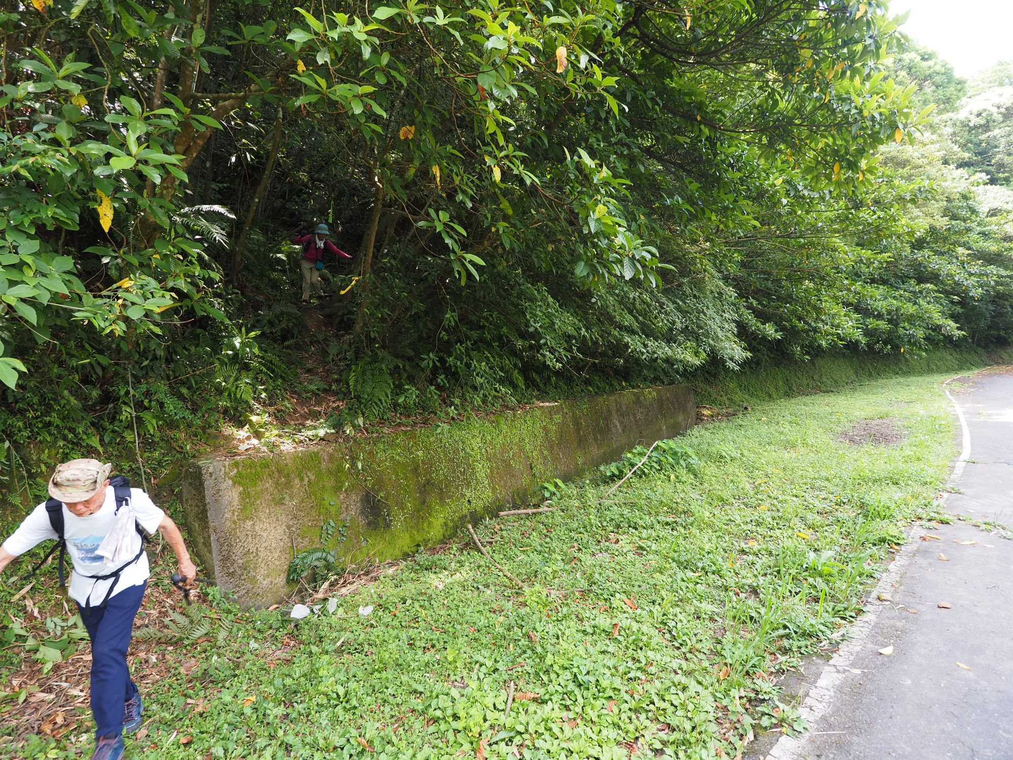
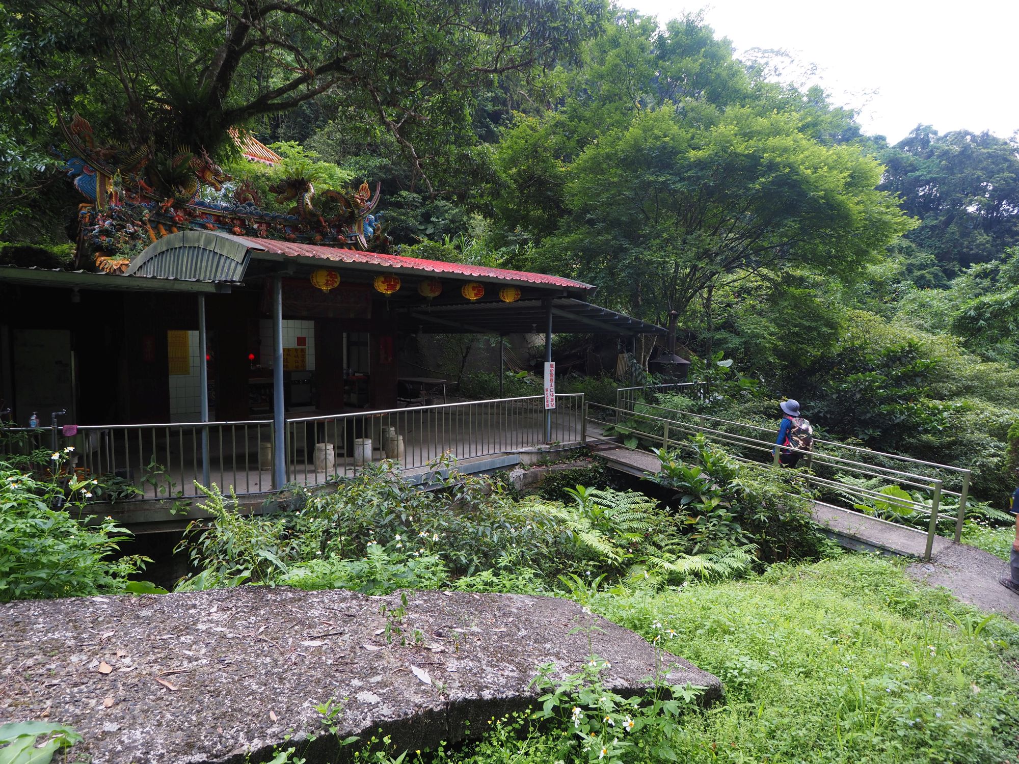
In a short while fourteen of us headed for our trail head near Wuliangguag temple (無量光寺). We crossed a river, gradually went up to a narrow paved road and came to the trail head at 9:18. A new sign dated May 8 is attached a tree trunk. The trail first passes by old but well-kept huts and goes into a valley. The trail is wide and neat.
 |
| Good trail |
 |
| Quick fixed boot with plastic strings |
A member just behind me said " your boot sole is pealing off!" When I looked at it, it was definitely pealing off. My old boots were breaking up. Another member happened to have adjustable plastic strings with him and I placed them on my boot for a quick repair, which worked OK. I had had this pair of boots for a hike only a few days earlier and it was perfectly all right. Well, this kind of thing may well happens...
 |
| Junction on the ridge |
 |
| Summit of Waiganjiao-shan |
At 9:32 we came up to a junction on the ridge. We took left and went for Mt. Waiganjiao-shan. It was just over a little hump a couple of minutes away. The summit (elev. 227 meters) is encircled by trees and has a stone marker in its center. This peak is also called Dongshan (東山, East Peak). Returning to the junction, we continued our walk along the ridge trail, which rises for about two hundred meters with very steep inclines. Many ropes are attached for steepest sections.
 |
| Returning to the junction |
 |
| Climbing a steep grade |
We climbed for forty minutes and came to a moderately inclined stretch at the elevation of approximately 400 meters. We have sweat a lot on our way up and have our first break there. The trail is in very good condition. Stems of wild Lintou (林投, screw pine?) have been severed widely to make a passage at many locations. They are really nasty for hikers. Their stems are very firm and dense, so it is not easy to go through or over them. It would have taken us much more time to go through them if not removed like this.
 |
| Having a rest at a flat spot |
 |
| Nasty Lintou stems widely removed |
 |
| Advancing the ridge trail |
The ridge trail goes over small humps, gradually gains height and passes by the 508 Peak (508 implies the elevation). Climbing a short last steep stretch we came to the final peak on the ridge, the 578 Peak, at 11:43. From this summit we went down along a steep trail and met a group of hikers coming up on our half way down. We finally reached a junction with Bengshankeng trail at 12:10. The junction is wide and a dozen of log pedestals are placed around. We had a lunch break. The temperature was high, which made me fell rather weak. Cold water in my thermos felt really nice and made me refreshed.
 |
| 508 peak |
 |
| Short steep climb to 572 Peak |
 |
| At 572 Peak summit |
 |
| Way down |
 |
| Meeting another group climb up |
 |
| Lunch at the junction |
 |
| Bengshankeng trail |
After a half hour break, we resumed our hike for Mt. Ganjiao-shan. Bengshankeng trail is familiar to me. This is my third time to travel this path. Now that it is a part of Danlan historical trail, the condition is pretty good without weed that covered almost entire length of the trail 12 years ago.
 |
| Fengkou pass |
 |
| The other side of the pass |
The gradual incline led us to the pass called Fengkou (風口). It is a narrow gap on the ridge between Dongganjiao-shan (東柑腳山) and Ganjiao-shan. Fengkou means "wind passage", because wind funnels through this gap. On the other side finds a junction of Ganjiao-shanyao trail (柑腳山腰古道) that goes along the west slope of Ganjiao-shan.
 |
| Fallen trunks being cut off |
 |
| Take right trail to the summit |
We took Ganjiao-shanyao trail and advanced along a moderate incline for ten minutes to come to a junction. We then went along the right trail, passing another junction and reached the summit of Ganjiao-shan (elev. 615m) at 13:30. This summit is also encircled by trees and offers no distant view. While we were at rest, one member mentioned that our bus back to Shuangxi train station would leave 15:25, one and a half hour later. We immediately took off and started our long way down.
 |
| Ganjiao-shan summit |
 |
| Reaching Bengshankeng trail |
The distance to the Changyuan bus stop is about 4 kilometers. It is mostly downhill and the condition of trails is good, so we should be able to catch the 15:25 bus. If not, the next bus is two hours later. Everybody is in hurry. We took a shortcut and down onto the Bengshakeng trail. We got to the junction in just ten minutes and went further down along the trail. Because we went down so quickly my boot soles finally gave way and came apart😂 I put the detached soles in a plastic bag for later disposal. To my surprise, my soleless boots withstood for the rest of our hike.
 |
| Hurrying down the trail |
 |
| Junction of lunch time |
Passing the junction where we had a lunch earlier, the trail comes up with slippery wet stone steps at several stretches. A little below the junction stands a Tudigong (土地公祠) stone shrine on our right. As we further descend a creek on our left becomes wider and its sound louder. Soon after passing a ruin of stone house at 14:51, several patches of green field show up. At 15:00 we have come to the end of Bengshankeng trail and step onto a paved road.
 |
| Tudigong shrine |
 |
| Trail by a creek |
 |
| Stone house ruin |
 |
| A green field |
 |
| Trail head |
The final leg of our hike was just walking down this paved road, which is just a little more than 1 kilometer. Hitting a junction at the end of this road, we took left and went up a little to reach the bus stop in front of Weihuimiao (威惠廟) temple at 15:10. We have made it! A road maintenance work is under way around the temple and machines are working with loud noise.
 |
| Going down the paved road |
 |
| Reaching the bus stop in front of Weihuimiao temple |
 |
| Inside #781 bus |
A #781 bus came up at 15:15 and made a short rest before its return trip to the train station. The bus came to the bus stop on time at 15:25. All of us got aboard and reached the train station at 15:40. Some of members took a local train at 16:25 and myself and a few members, a Ziqiang-hao express trail at 16:37 that reached Taipei in a little more than an hour.
-----------------------------
 |
| Many butterflies seen on the green fields |
The good weather is very welcome, but no thanks to heat. It was very warm today. As the summer draws near, it is inevitable to have higher temperature. When I was hiking a decade ago, the heat was not a big issue for me, because I was thrilled to experience new mountains. As I became more familiar with all kinds of mountains, low mountains to high ones, I came to chose which one to visit according to the season. I probably suspend visits to low mountains in summer.
The trails of this hike should be in good shape at least for a year. Bengshankeng trail should be kept very good even longer as it is an official trail. Our hike lasted 6 hours, covering 10.2 kilometers with the total ascent of 706 meters and the course physical index 22.