|
| 九份の街の上に聳える基隆山 Mt. Jilong-shan commanding over the town of Jiufen |
この記事も、過去の山行記録だ。5年前の2月に、台湾東北海岸の山々と古道を歩いた。ルート自体は、その5年前
2012年に一度歩いているものとほぼ同じである。その際は、単独での山行であったが、この記録は映画監督をしている日本の友人を伴っての歩きだ。
九份や金瓜石は、言うまでもなく昔の金にまつわる場所であり、今は観光地としてにぎわっている。遊楽客でにぎわう、或いは混雑する九份老街を少し離れると、そこにはこの地にゴールドラッシュをもたらしその繁栄を支えた場所が残る。古道をたどり、金の採掘場所や住人が暮らした廃墟を訪れるのは、単に老街の人込みで過ごすよりもこの地を理解できる。東北海岸の山々は、しっかりした石畳歩道だけでなく、登山者が切り開いたり忘れられた道筋を掘り起こしたりした山道もある。この山行は、メンテされた基本良好な登山道だけを歩くものだ。
---------------------------------------------
 |
| Map of the hiking |
One of my friends who happens to be a young film director stayed in Taiwan for one year on his cultural exchange program funded by a Japanese authority. While he was here in Taiwan, he joined me for a couple of hiking / expedition activities. This is one of such activities before he left Taiwan. I wonder how this activity came into being when I recall it. It might have been related to the location where the well-known movie of Taiwan had been filmed and it became a sensational hit in 1989. The film was titled 悲情城市 A city of Sadness, which later revitalized the decaying gold rush towns of Jiufen (九份) and Jinguashi (金瓜石).
Remote and barren mountains along the northeast coast line of Taiwan once was the East Asia's most productive gold mine in the 1930s. Gold was discovered in the late 19th century and a flock of gold miners started the frenzy of gold rush, like the well-know gold rush of north America. The gold brought a unprecedented wealth and prosperity to this remote corner of Taiwan island. Copper was later mined and processed on site, of which toxic smoke changed the landscape and the vegetation. All this glory had gone by 1970s and the towns became ruins after people left. The movie A city of Sadness received several awards domestic as well as overseas, like one in the 1989 Venice Film Festival. This brought a second prosperity to the neglected towns of Jiufen and Jinguashi. Now countless tourists and holiday seekers fill narrow streets of the old town of Jiufen and stroll along the town of Jinguashi.
 |
| Songde park and Jilong-shan |
Our itinerary of this hike was like this: First climb Mt. Jiong-shan (基隆山) to enjoy a wide vista of whole Jiufen and Jinguashi communities on the slope of mountains towards the south and the vast ocean spreading towards the north; Second visit points of historical interests of Jiufen; Third go up to Xiaojingua lutou (小金瓜露頭) which is the first site of gold discovery and down via Dazukeng historical trail (大粗坑古道) to Houtong (侯硐) which once was a bustling town of coal mines. By this way one could understand the geographic setting of the place and appreciate its historical backgrounds as well. This was in fact my second hiking almost identical to the
first one which took place in 2012.
-----------------------------------------
 |
| Boarding a #1062 bus in Taipei |
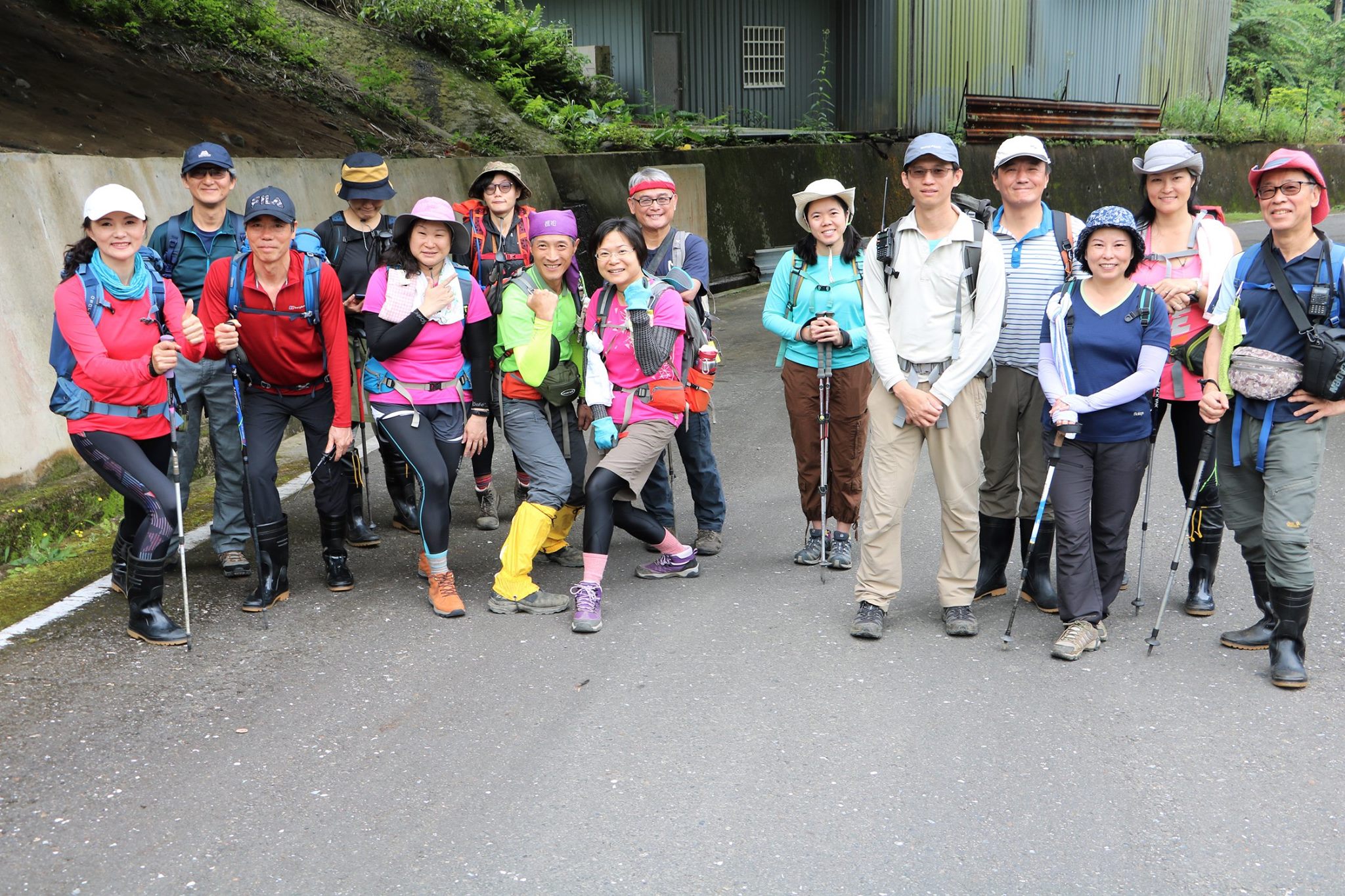
My friend, Mr. Shimote, and I met at a bus stop of #1062 line service on Taipei Fuxing south road (復興南路) a little after 8:00. This line of bus goes via the highway #1 all the way to Jiufen and Jinguashi. We got aboard a bus of 8:10. On a weekday like today, passengers were not many. An hour and twenty minutes of the ride took us to Geding bus stop (隔頂站), which is a highest point between Jiufen and Jinguashi and also close to the trail head of Mt. Jilong-shan (基隆山).
 |
| Geding bus stop (隔頂站) |
 |
| Jilong-shan right ahead |
 |
| A junction, both paths meet below the summit |
A notice placed on a side house showed that there were nine families living on this desolate location in the early days. They had to rely on seaboard transportation for their necessities. The discovery of gold in its vicinity in the 1890's completely transformed this impoverished small village. 3,000~4,000 gold miners came to cram the place. The name of Jiufen was taken from the original fact that there were nine families.
 |
| Panoramic view from the halfway to the summit |
 |
| Long climb on stone steps |
At 9:40 we took our first step on the stone paved trail to Jilong-shan. A single triable-shaped peak of Jilong-shan proudly stood in front of us. The mountain was so named because it resembled a cage of chickens, jilong (雞籠). The pronunciation of chicken cage is same as Jiling (基隆) and thus changed to the current Chinese characters because it looks more "elegant". The trail was well maintained. It went flat for a short while and split a dirt trail to its left (elevation 343m above sea level). The two trails would meet at a higher point a little below the summit.
 |
| A shelter by the path |
 |
| A junction beneath the summit |
A long steep stone stairway replaced the flat section that we had just come. This ceaseless climb would last for the rest of our entire ascent of 250 meters or so in altitude. The trail passed a wooden observation deck and two concrete-built shelters on its way up. At 10:10 we passed a junction that merges a trail coming along more moderate incline from the junction below. In another ten minutes we reached the wide open summit (elev. 588m). It was a half-hour ascent. A radio transmission facility is built on its corner. Also stands a concrete-built shelter on the summit.
 |
| The summit of Jilong-shan |
 |
| South vista from the summit |
The independent single peak allowed us a 360 degree view. To the south the peaks of
Banping-shan (半屏山), Canguangliao-shan (燦光寮山),
Mudan-shan (牡丹山),
Dacukeng-shan (大粗坑山) stood side by side to form a wide backdrop of Jinguashi and Jiufen. From the halfway down of the mountain slope spread countless houses and a large grave yard sat between the two communities. Under a relatively hazy sky the horizon was not discernible. Shenao bay (深澳灣) was just under our feet on the west side. The landscape beyond
Mt. Wanziwei-shan (灣仔尾山) across the bay was covered with hazy cloud. If the weather had been better, one could have identify Yangmingshan range of mountains (陽明山).
 |
| View over Shenao bay |
 |
| Author at the summit |
After the initial stage of gold mine development under the Qing dayansty (清朝), the Japanese regime took over the control of gold mining. They split the whole region into two, Jinguashi side on the east and Jiufen side on the west. The straight north-south line passing Jilong-shan was made to be a dividing line between the two. The two areas were then leased to private enterprises for mining right. Tanaka-gum (田中組), a Japanese civil engineering company obtained the east side, while Fujita-gumi (藤田組) the west side in 1896 one year after Japan taking over Taiwan. One can find a few dividing markers on the ridge line of Jiling-shan even today.
 |
| View over the town of Jiufen and cemetery |
 |
| Friend at the trail head |
Enjoying the summit for about a half hour, we took our way down at 10:52. In front of us spread a whole town of Jiufen and a cemetery on its left. Traditional graves of Taiwan are large and they would look like houses from afar. There were countless stories of miners, lucky and successful ones and miserable ones. Those successful miners must have been buried in one of those house-like tombs while unsuccessful ones' bones might have ended up in a pot and left somewhere at a lonely spot of hillsides. We reached the trail head by the road at 11:20.
 |
| Jiufen |
 |
| Inside of the restored Shengping theater |
 |
| Old movie projector |
We kept our way down along the road and entered the busy section of Jiufen. We stopped over at Shengping movie theater (昇平戲院). The dilapidated theater was restored to its glorious day as the tourism of Jiufen got into full swing. Now it presents the original structure and all equipment like movie projectors etc. The town of Jiufen at its acme was called Little Shanghai or Little Hongkong. The whole town was in illumination throughout night. One looked at the town aboard a ship to and from Keelung port and witnessed its prosperity even in the night too, The most expensive merchandise was brought in and sold to the local people because they could really afford them.
 |
| Closed portal of #5 mine shaft |
 |
| Qingbian street |
Passing the closed portal of No, 5 mine shaft (五番坑), we stepped onto Qingbian street (輕便路). The name Qingbian was derived from the fact that this street was once a right of way of light rail system. The current motor road from Ruifang (瑞芳) was constructed only after the war. The light railway system pushed by manpower was the main means of transportation to and from Jiufen of the day. The rails had been long stripped away and one would not notice unless so told. We walked to Songde park (頌德公園) at the edge of the town.
 |
| Stone monument of Songde park to horer Yan Yunnian |
The park was built in 1917 by the local people to honor Yan Yunnian (顏雲年1874-1923). The original contractor Fujita-gumi handed over the mining right of the Jiufen area to the Yan family in 1914. Yan Yunnian took a new leasing measure, called three-level leasing scheme (三級包租制), in which each individual miner had a chance to get more profit from his mining work. After they paid off the rent, the rest would all belong to them, thus encouraging production and producing more prosperity to the local community. The Yan family had long been a local enterprise and operated coal mines around Ruifang town at that time. His venture into gold mining established a new foundation of large prosperity to his family, which later became one of the top five Taiwan family enterprises.
 |
| Take right street back to the town |
 |
| Jiufen primary shcool |
We headed back to Jiufen and went up to Shengming-gong (聖明宮) temple above the town. We had a lunch in the yard of the temple. From the yard one could see Jilong-shan standing over house roofs of Jiufeng township. Across Luinding street (崙頂路) on the terrace above lies Jiufeng primary school (九份國小). This educational institution was built in 1909 and the first one in Jiufen, providing education to children of miners. At the apex of local mining industry, the school held a little more than 1100 pupils, which would indicate how many people were crammed to live on this patch of mountain slope.
 |
| Shengminggong temple |
 |
| A long stairway to Qinxian school |
Having a half hour of lunch break we left the temple for our next point of the schedule at 12:35. As we went up Mt. Jilong-shan stood over the town as if a commanding king. We came up to the bottom of a long stairway to Qinxian junior high school (欽賢國中). Climbing the stairway to its top, we passed by the school to get to the trail head of Xiaojingua lutou (elev. 410m).
 |
| Qianxian high school seen from Jilong-shan trail |
The school was named after Yan Qinxian (顏欽賢 1902-1983). He was a benefactor and donated this piece of land where the school now stands. His father Yan Yunnian died rather young at the age of 49. After his father's death his uncle Yan Guonian (顏國年) assisted him to run the family business. Yan Qinxian later reorganized the family businesses to form a company called Taiyang (台陽公司) and assumed its president in 1937 after his uncle's death. The company was firmly established on gold and coal mining industries and expanded to other fields of business. He brought the zenith to the Yan family.
 |
| Trail to Xiaojinggua lutou |
 |
| Junction to the top (right) |
The Xiajingua luto trail was also stone paved and in good shape. It climbed gradually for about 15 minutes to come to a junction right below Xiaojingua lutou. We took the trail up and got onto a gravel-filled top (elev. 550m). This was the sight where gold rocks were taken out and carried down to the factory for processing. The exposed rocks and blowing wind under a gray sky gave us a feeling of desolation and loneliness. Countless miners worked on this site for decades, which seemed like a mere dream now. Jilong-shan stood very far under a hazy sky.
 |
| Xiaojingua luto |
 |
| Back to the junction |
We went back to the junction and further to the gate by #102 Ruishaung highway. Getting out of the steel bar gate we took right to enter Dacukeng historical trail, which was only a short distance away. As soon as we stepped in the trail, we came across a group of people taking bridal pictures. The trail was also maintained by the local authority and in good shape.
 |
| Steel gate |
 |
| Dacukeng trail head by #102 highway |
 |
| Taking bridal pictures |
 |
| Abandonded village below in the valley |
 |
| Down the step bridge |
As we went down a long stepped bridge to a remain of a mining village showed up. We reached the deserted village at 13:38. On the wide terrace stood several houses, some of which were without doors and windows but looked still firm. All residents of the small village were involved with mining but all long gone.
 |
| Abandoned village |
 |
| A dirt trail to Xiaocukeng on the right |
 |
| Youyinggong |
 |
| The end point of Dacukeng trail |
We kept our way down along the stone step trail and soon found a dirt trail diverging to the right to connect Xiaocukeng (小粗坑) village. A small youyinggong (有應公) shrine Wanshantang (萬善堂) showed up by the trail at 14:00. Youyinggong shrines are dedicated to the nameless souls who died on their way with no relatives or friends. Some miners or their family members might have died here alone far way from their original home. There are, as a matter of fact, many such shrines throughout Taiwan. At 14:10 we reached the bottom of the trail. |
| Abandoned Houtong primary school |
 |
| Jieshou bridge over Jilong river |
 |
| Statute of Li jianxing |
The last leg of our hike was to walk down to Houtong station. We passed the abandoned Houtong primary school (侯硐國小), which was devastated by a typhoon in the year 2000. The school moved to a new location by Jilong river. We soon pass by a junction to another historical trail, Jinzibei trail (金字碑古道), now listed as a part of Danlan old trail system (淡蘭古道). Hitting Houtong road (侯硐路) that runs parallel to the river we took left to go along the road, and came to a new bridge named jieshou qiao (介壽橋). A stone statue under a shelter named Huaide ting (懷德廳) stood just across of the bridge.
 |
| Panoramic view of Houtong |
 |
| Former Ruisan coal main, now a theme park |
The statute is to honor late Li Jianxing (李建興 1891-1981). He was one of the coal entrepreneurs of the age like Yan Qinxian. He established a mining company Ruisan mining industry (瑞三礦業) in 1934, which later became the largest coal producing mine of Taiwan. We kept our walk on Houtong road to an area of old mining facilities. This was the Ruisan mine that had been transformed to be a kind of theme park built around the old and disused mining facilities. Crossing a former coal conveying bridge to the railway station side, we came down the edge of the Houtong small community.
 |
| Walk cross the bridge to Houtong |
 |
| Cat shelters |
Currently known as a cat village, the original sleepy town had turned to be a tourist spot thanks to cats. Elderly residents of the town like former miners or his partners cared for stray cats as they had few young people at their home. As time passed, more cats came along and the community was known for its cats. You could see a lot of cats and small cat shelters about. We passed by small eating shops and reached the station at 15:16 where a big cat mascot welcomed us. Waiting for about 10 minutes our train to Taipei arrived.
 |
| Cat mascot of the station |
---------------------------------------
 |
| One of Mt. Shimote's filmworks that he gave me |
Our hiking lasted about five and a half hours including break times. The distance was a little more than 10 kilometers with a total ascent 646 meters and descent1033 meters. The trails were all good and this was a very enjoyable and easy hike.
I trust that many of your know or even visited Jiufen, a famous tourist attraction of northern Taiwan. If you regard yourself as a hiker, why don't you get out the tourist packed narrow old street of Juifen and appreciate the landscape and its historical backgrounds, which span more than a hundred years? You would be more satisfied by hiking one or two of these hiking routes than just staying along in the old town mixed with tourists. I recommend to go there in Spring or Autumn, Summer could get too hot as there is little shade of trees along the trails and you might be caught in rain in Winter. It rains a lot in Winter in this region.
 |
| A cat of Houtong |
Gold mining as well as coal mining had all gone by the 1980s in Taiwan. The Yan family enterprise, largely depended on the mining industry, no longer holds the former glory. The eldest son of Yan Qinxian, late Yan Huimin (顏惠民 1928-1985), continued the family business. He stayed most of his life in Japan. He married a Japanese girl from Ishikawa (石川) and had two daughters, Hitoto Tae (一青妙) and Hitoto You (一青窈). The elder daughter is a dentist as well as a citizen ambassador of Taiwan and the younger one is a singer songwriter. They no longer carry the family name of Yan but mother's one, yet the family legacy of Taiwan still evolves into the future. Iincidentally Hitoto Tae is currently in Taiwan and acts a character in a theatrical play called 時光の手箱.