 |
| On the trail to Mt. Huangzui, |
今年の春に初めて自然保護区になる
磺嘴山を訪れた。今回は、慢集團の道案内での再訪である。前回は、內寮からスタートし萬里區大坪へ下った。それに対し、擎天崗からスタートし、磺嘴山往復のあと
荷蘭古道を経て至善路へ下った。ルートとしては、すべて以前歩いている場所になる。今回も英語で記述する。
=======================================================
 |
| We start from Qiangtiangang and end at Zhishan road at the south |
 |
| Basically downhill profile with many ups and downs |
 |
| On the way to Mt. Huangzui trail, thick fog no view |
Yangmingshan National park has restricted areas for protection of natural habitat. One of them is Mt. Huangzui Ecological Protected Area, which covers a large area including Mt. Huangzui (磺嘴山) north west of Qingtiangang (擎天崗). The area has a monthly quota of 500 persons going into the area and you have to apply in advance to get
a permission from the park authority.
I visited the protected area with a few friends back in May this year. I took a group of Manjituan (慢集團 Andante) hiking group to the area this time.
 |
| The gate to Mt. Huangzui trail |
 |
| Going over the fallen trees |
The route that we took this time is to start from Qingtaingang and get into a trail to Mt. Huanzhui which diverges from a trail from Qingtaingang all the way to Fengguizhui (風櫃嘴). We followed the trail to the main peak of Mt. Huangazui and got on the same trail back to the Fegnguizhi main trail with a short stop-over at Cuicui valley (翠翠谷) for lunch. We followed the Feguizui trail to a point near Mt. Xinglin (杏林山) and got into
Holland trail (荷蘭古道). We went down along the trail and completed our hike at a bus stop on Zhishan Road (至善路). There was a little rain and it turned OK in the afternoon but a few days of rain before this hike made the dirt trails very muddy and slippery. Our boots got very dirty after the day's hike.
 |
| Muddy section |
 |
| Emergency shelter in thick fog |
We gather at the Small 5 bus (小15) stop by MRT Jiantan station (捷運劍潭站) at 7:00. We have two guests from Japan in our troop today. They have come to Taiwan for hiking. They contacted me in advance and I arranged for their participation in this hiking. Some of our members left earlier to get to Qintianggang and wait for us there. There are more bus services of Small 15 bus today as there are more passengers on weekends than week days. We take one at 7:20 and head for Qintiangang.
 |
| Luckily the sky is clearing |
We get to Qingtiangang and join the members already there. We have 22 members today. After my brief introduction of the hike, we head off at 8:12. No rain is falling but the ground is wet. We walk along a stone paved trail maintained by the park authority. Fog is thick and we cannot see those peaks nearby. After twenty minutes of walk on small ups and downs on the trail, we come to an entrance to Huangzui trail. A fence goes along the main trail to make clear that the area beyond is restricted. The gate is closed with a lock. We have a number to open the numeral combination lock and open it with ease. Into the gate we go and we are now on the Huangzui trail.
 |
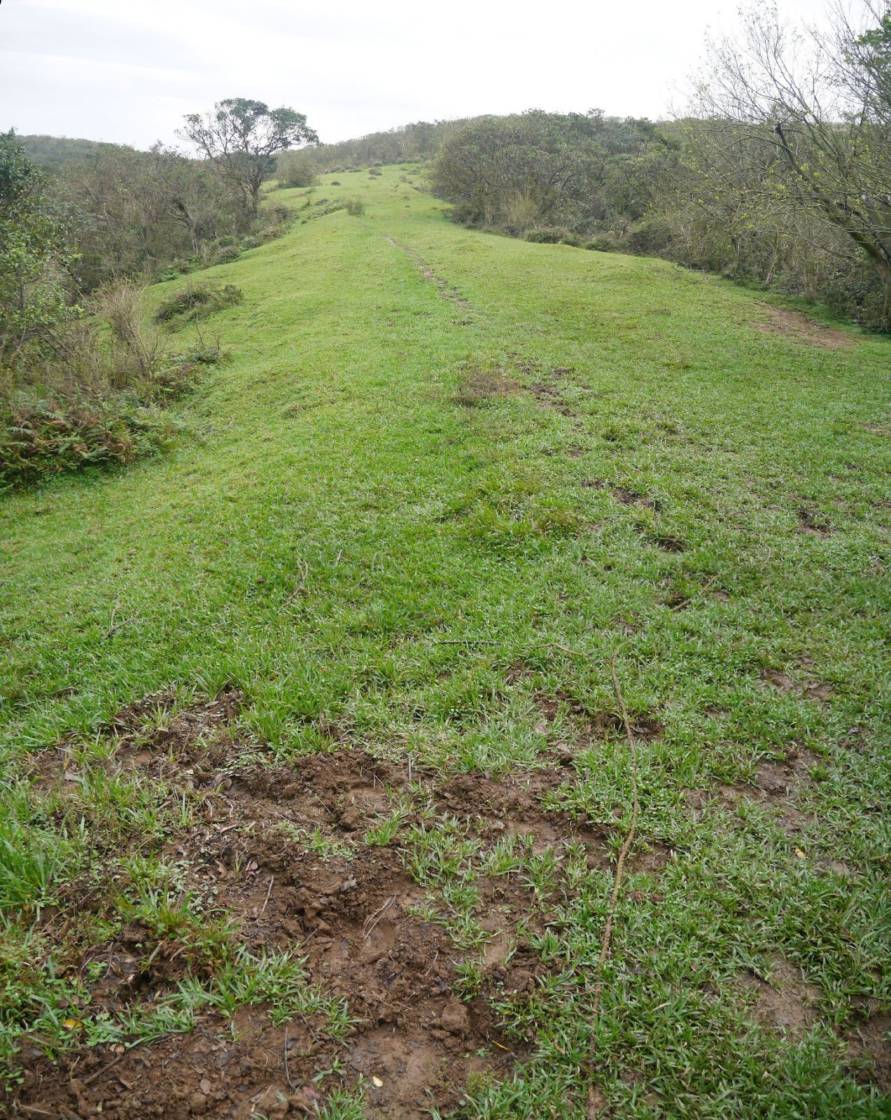
| Steep climb in grasses |
As soon as we start on the trail at 8:40, we find that the trail is very muddy. It rains slightly but a few days of rain in the past made this horrible situation. There is no hard surface for the entire trail width at some points and our boots step on no place but such deep mushy mud. Spats does not help much though it is better than nothing if you do not wear rain boots. We go over fallen down trees which must have been blown down by the typhoons this summer because there were no such trees last May. We reach an emergency shelter which stands in thick mist at 9:26 and have a short break.
 |
| The trail is muddy as hell |
We go down a little passing through a open grass field and get into woods again. At 9:53 we pass by a junction to Cuicui valley and keep on the trail The trail starts uphill after passing by another junction which leads to Lukuping (鹿窟平) on our right. In ten minutes we get onto a grass field. Mist is clearing and we now can see Mt. Huangzui just in front of us. Rain must have washed off dusts in the air so we can see very faraway places like
Mt. Jilong (基隆山) and
Mt. Bangpingshan (半屏山), which we climbed just last week. After a short easy walk, we start a steep climb on the side of Mt. Huangzhui. It goes up zigzag in tall grasses. When I look back, a wide view of Mt. Dajianshan (大尖山) and beyond is there. At 10:25 we come to a junction to the North peak of Mt. Huangzhui, which is with no marker and you will miss if you are not familiar. We keep on the trail that goes to the main peak. We go up a gradual slope and reach the summit (912m in elevation) at 10:45. A small flat grass field of the summit is very welcome as we just passed through very muddy sections.
 |
| At the summit of Mt. Huangzui |
 |
| View from the summit |
 |
| Looking over Huangzui pond and the north peak across it |
Mt. Huangzui is a volcano which erupted as recently as two hundred thousand years. The north peak and the main peak are just on the ridge of volcano crater and Huangzui pond at the bottom of the crater was once an eruption vent. You walk over to an edge of the summit area, and you can overlook Huanzui pond and the inner wall of the crater across the depressed area and realize this is a volcano. We have some rest on the summit and at 11:05 return on the same trail down to the junction to Cuicui valley. It is good that sky is getting clear but the trail is still as horribly muddy as before.
 |
| On the way back, Mt.Dajianshan is across the valley |
On the way down we come across a team of official inspectors of the park authority. They want to see our entry permission document. We produce printed permission which was given over internet and give them for check. They go over it carefully, compare our team with what is on the document and return it to us. This is indeed a restricted area and you have to have a permission in advance for sure, otherwise you will be fined and may be banned for entry for sometime.
 |
| Cuicui valley |
 |
| Animal bones |
We reach the junction to Cuicui valley at 11:58 and turn right to the valley. It is just a few minutes walk down to the valley. A small stream is with much more water than last time and it is very hard to cross it. So we go back up a little to a small green field and have a lunch break. A bunch of bones of a small animal are just on a corner of the field, which we cannot identify what species it is as there is no scull. It may have been eaten by a bigger animal and bones were just left out.
 |
| We are back at the shelter |
At 12:40 we resume our hike and go up again to the trail on the ridge. We continue climb to the emergency shelter. At 13:13 we come to the shelter. Originally I planed to take another trail southeast to Mt. Dajianshan but it is rather late for that. So we continue the same trail back to the main Fengguizhi trail. We come at the trail gate at 14:00. Our boots are all with thick mud and we are happy to see the stone paved trail, which we usually despise.
 |
| This is what our boots look like after muddy walk |
We turn left at the gate and walk on the paved main trail. It steadily goes up on steps. In ten minutes or so we come up to one end of the long flat top of Mt. Shitiling (石梯嶺) and a wonderful view spreads out in front of us.
Mt. Qixingshan (七星山) stands there and Qingtiangang green meadow spreads out at the foot of Mt. Qixingshan. Qilongyu island (基隆嶼) is visible far on the ocean. The whole metropolitan Taipei is just down there in the basin. We start decent and come to a big green field. We can see Mt. Beiwuzhishan (北五指山) where we will be later is just across a valley.
 |
| Mt. Qixingshan and Qingtiangan field from Mt. Shitiling |
 |
| Another view from Mt. Shitiling |
 |
| Metropolitan Taipei is just down there |
 |
| Walking on a grass field |
We continue on the paved trail down and go around the foot of Mt. Xinglinshan. At 15:00 we come to the head of Holland trail which is not marked but a sign of warning for buffaloes is placed. We step on a dirt trail again. We go on a meadow and up to a higher level. There is a rope fixed on the ground as a marker to show where the trail is. It is pretty easy to lose a sense of direction on an open field in thick mist. We come up to a plateau and turn right to the top of Mt. Beiwuzhishan. It is flat there and hard to tell where the summit is if no stone marker is placed in the ground. The sky is gray but the view is the best I have ever had in my last several visits. We can see either sides of the mountain range, the ocean and the Taipei metropolitan area.
 |
| A view from Mt. Beiwuzhishan |
 |
| Looking for the direction of Jilong |
 |
| The season for silver grasses is almost over |
We go back to the Holland trail and start descent. The trail goes down gradually on a grass field and we come to another (sort of) summit of Mt. Gaodingshan (高頂山). After passing this place we get into woods and the grade gets steeper. The trail is again very muddy and slippery at some points. Why Holland in mountains of Taiwan? There are a couple of theories to tell why it is so called. One of them is that when Netherlands army fought against Spanish army back in the 17th century in Taiwan, the Netherlands walked over this trail to get to Jillong where the Spanish stationed. So is named after this fact. Another theory is that there was an army under Qing dynasty stationed in this area and solders were mostly from Hunan province (湖南) of China. Taiwanese pronunciation of Hunan is similar to Holland and so is named. It is hard to tell which is correct but it sounds very special anyway.
 |
| Yet another muddy slippery downhill |
We come to a junction where two paths diverge. Both leads to a irrigation waterway at the bottom of the mountain in the end, but the one on the right is steeper. We take left one and go down. The upper section is steep and the muddy trail is very slippery. In ten minutes of struggle we come down at the bottom and meet a creek with no water. We cross it and go along a flatter trail for another 20 minutes. We come to Fengxing coffee shop (風行咖啡) where the Holland trail ends. We walk down a paved road and come to another trail head that leads to Zhishan road. We descend stone steps and cross a river over a bridge. We further go down along a paved road and reach our final destination, a bus stop of Small 18 bus (小18) at 17:08. Our bus comes around17:30 and we get back to MRT Jiantan station by it.
 |
| Walk on a paved road to the bus stop |
We walked for 9 hours to cover approximately 15 kilometers. The route is mostly downhill but many ups and downs. Bad dirt trail condition, with muddy and slippery surface, made us tired. If the trail is dry and firm, it would not gave us such hard time. Two Japanese guests probably never dreamed of such horrible condition of Mt. Huangzui but to my comfort they were happy, nonetheless. The difficulty level is 4 for the route under such muddy conditions and 3 for the physical.


0 件のコメント:
コメントを投稿