日本時代から重要な基隆港は、その荷扱い量はすでに台北港などに抜かれている。しかし、港を囲む丘には多くの建物が立ち並び、日本の神戸や横浜、あるいは函館のような風情を持っている。今では台北のベットタウン的な色彩も強い。鉄道以外にも高速道路経由のバスがとても便利だ。港を見下ろす丘は、いままで歩いているが、今回対象の基隆港西側の丘はまだ足を踏み入れていなかった。ここにも、旧砲台跡や灯台があり、昔も今も重要な港であることを物語っている。今回は、英語で記述します。
Needless to say, Keelung Port is a well-know port of Taiwan. Since the late 19th century, the port has been an important international gate of Taiwan and contributed to the development of country's economy. It became the biggest port in terms of passing tonnage in the 1970s. The title of the biggest port no longer belongs to Keelung, but it still is an important passenger port, ranking No. 3 of the all Asian ports in passenger count.
 |
| Starting from the north to the city center |
 |
| The elevation profile of the hike |
 |
| The map of surrounding area of the haror |
The very terrain of Keeling, a deep inlet of sea water surrounded by hills, was suitable for a naval base. The development of the port was initiated under the Japanese regime and indeed carried out under the supervision of the Navy. It has many cannon forts on the adjacent hills. They all have long been out of use and turned to be tourist attractions. The flat land is limited and the city has been built on the slopes of hills and many houses stand one above another, which create a unique view of the city.
 |
| All members at the summit of Mt. Dade (大德山) |
The development has pushed its area yet higher level on hills. There are still untouched green patches. The top of hills is very good vantage points. You come across decommissioned cannon forts and light houses as you go along hills. Though the altitude of hills is just in the rage of 100 meters, these factors make up a nice combination for hiking. I have been to the skylines of Keelung couple of times in the past. The western section next to the harbor was a place I had not yet stepped in. So before the weather turns hot, we made an easy hike going over western hills and visited Baimiweng fort (白米甕砲台), Keelung light house (基隆燈塔) and Quizishan light house (球子山燈塔) on our way.
 |
| Another view of the hills of the hike from Mt. Shiqiuling (獅球嶺, Feb 2020) |
 |
| Demolition in progress, KEELUNG is visible behind |
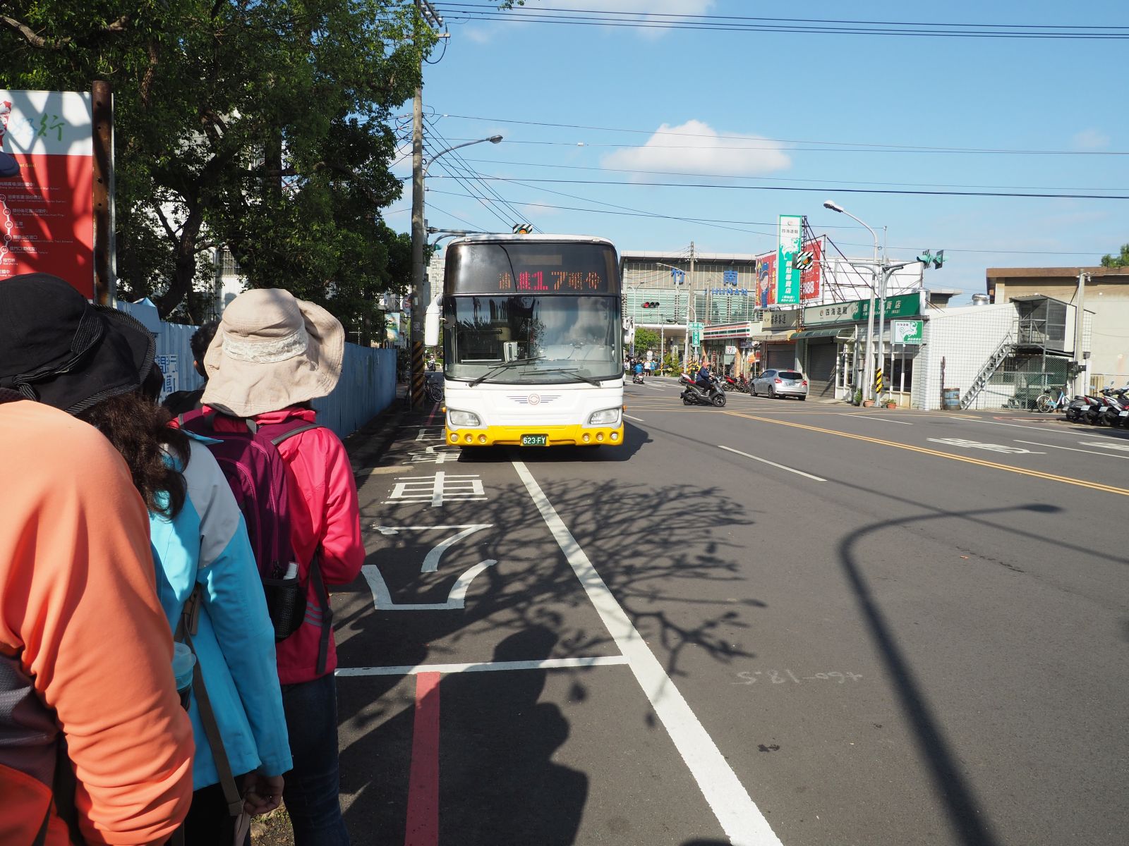
14 people show up at the south gate of Keelung train station a little after 9:00. The pedestrian bridges in front of the station are just under demolition work. The roads near the bridges are all closed for traffic. Our bus #302 or #301 usually go through but the bus stops near the work sites are removed to temporary locations. We need to go to Xiao Er street (孝二街) for our bus. Seeing the work in progress on our side, we harry for the temporary bus stop. When we arrive there a bunch of other hikers are waiting and fill up a small #301 bus which has come in a few minutes and no room for our 15 people. We wait for another few minutes and a #302 bus comes around and we get on it.
 |
| Keelung light house, all white in the background |
 |
| The harbor behind the container yard is all in white mist |
 |
| The portal of tunnel fort |
The #302 bus goes a longer distance to Taibaizhuang (太白莊) bus terminus than #301. Nevertheless we get there at 9:51, which is not that much later than #301 bus. While the sun was shining at the train station, thick mist hangs low over us here. As we go up along the trail the mist gets thicker. When we come to Jilong (Keelung) light house, the visibility is really low. The ocean beyond the container yard beneath is not visible at all just like a big white wall stands there. The light house was originally built in 1900 of bricks and later rebuilt of concreate 1962. It is still in use.
 |
| The opening at the end of the tunnel |
 |
| View from the tunnel opening |
We keep going up after a short visit to the light house and see a decommissioned tunnel fort on our way. It is open and we go into it. There are two tunnels leading to an opening on the cliff where guns used to be placed. Now everything is gone and there left only a concrete platform. The opening should allow good command of ocean view, but today it is just like a while wall.
 |
| New benches at Baimiwen peak |
 |
| The foundation of observation station under repair |
 |
| Going down steep steps to Baimiweng fort |
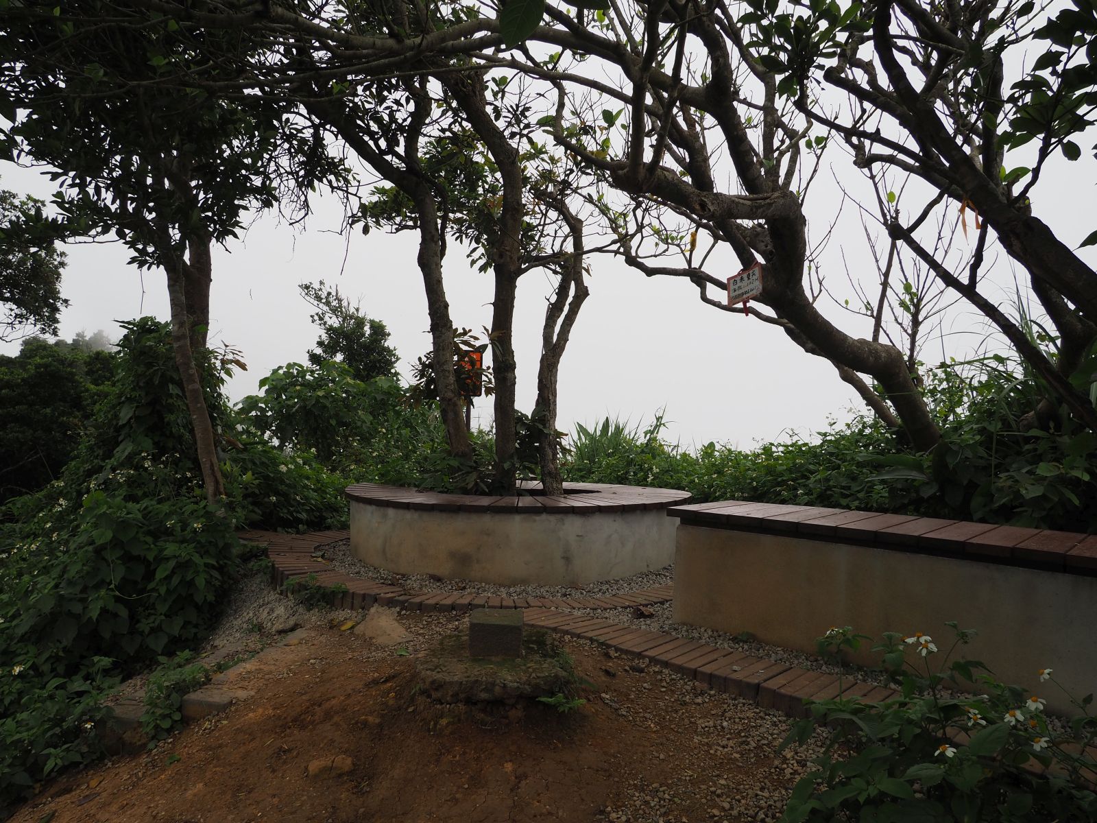
The trail leads higher to an observation deck and further to the top of Baimiweng peak (白米甕尖 elevation 102 meters) where a new bench has been placed by the triangulation marker. Signage along the trail looks pretty new. A renewal of the trail is under work. Next comes an old platform structure. The board by it says this was a ruin of an observation station to inform the cannon fort below of enemy situation. The trail goes down steeply with steps to the cannon fort, which is now fenced for renovation work. The announcement says it will open again for public in April. Baimiweng fort has a long history. It is said that it was first built by the Dutch 300 years ago and then expanded and fortified by the consecutive regimes, Chin dynasty, the Japanese and the current government. The location is tactically important at the mouth of the harbor and each regime eagerly held this fort for the security of the port.
 |
| Baimiweng cannon fort under repair work |
 |
| A new toilet hut is under construction |
 |
| Dirt trail to Mt. Huoyan shan |
We continue on another trail connecting Baimiwen fort and Qiuzishan light house and Mt. Huohao shan (火號山). A new milepost shows the distance to the light house is 1.5 kilometers. It seems that the local government is upgrading the trails and landmark structures along them. Following signs and passing a small garden, the trail turns to be a dirt path and gets into a lush vegetation. It passes by a big banyan tree, which is actually a group of several trunks growing together like a single giant tree and named seven-brother tree (七兄弟樹). White flowers of shell gingers are already in bloom here and there by the trail.
 |
| Seven-brother Banyan tree |
 |
| Shell ginger flowers in full bloom |
 |
| A long way up, large tanks are behind the net |
The trail has some steep ups and downs on its way. Rope railings are placed for such inclines for easy passage. It goes around and under an large area of oil tanks and gets onto another trail coming from left. We follow it and come to Qiuzishan light house at 11:23 and further up for a few more minutes to reach the broad summit of Mt. Huohao shan (133m elev.). It took us about 40 minutes to cover 1.5 kilometer of the trail. An old look it bares, the Qiusishan light house is in fact rather new, built in 1956. Why it has a name of Qiuzishan? It is because Mt. Huohao shan has another name, Qiuzi shan.
 |
| Steep ascent with rope railings |
 |
| Quizishan light house |
 |
| Observation deck of Mt.Huohao shan summit |
 |
| The whole harbor appearing in the mist |
 |
| Looking over the tank area and the forest we have come through |
 |
| "Sacred" Banyan tree |
While we hang around at the summit for some time, white mist gets thinner and starts revealing the view of the port below and hills around it. By the time we leave the summit at 11:58 we can make out the Keelung light house in a far distance by a container yard and water. Our trail begins behind the railing around the summit. We go past the railing and down on a steep trail. It goes by bamboos and another impressive banyan tree named Nine-pawed sacred tree(九爪神樹) It meets a trail going flat along the hillside and we take it right. It then descends to a Taoist shrine. The weather now turns very fine and hot. We take a lunch break under the roof of this shrine. The shrine keeper is pretty friendly and lets us use their front yard.
 |
| Taoist shrine where we have lunch break |
 |
| View of the harbor from the shrine |
 |
| Make a turn at Zhonghua road |
We have a leisurely lunch break with a lot of beer (of course!) for a half hour and restart our hike at 12:42. Steps lead down to Zhongshan third road (中山三路) and we take it right at the bottom of the steps. A big housing complex is under construction on left of Zhongshan road. At the junction with Zhonghua road (中華路) we take it right and cross Zhonghua road to enter Tongren street (通仁街). Soon we turn right and enter the 20th lane of Tongren street to ascend. We now are heading for more peaks and go up more than 100 meters in elevation again.
 |
| View from Tongren street 84th lane |
 |
| Have a rest under the roof |
 |
| Summit of Mt. Longfeng |
Keelung is indeed a hilly town, steep slopes everywhere. The 20th lane leads us to the 84th lane of Tongren street, which we take for further ascent. Under the direct sun, it is hot to go up on the paved road without shades. At a pavilion by the road we have a rest (13:11, elev. 103m). We keep on the same lane for hiker level and come to an opening among the vegetation on our right. We go up a little and get to the summit of Mt. Longfeng (龍鳳山 elev. 146m), a small open space among tall grasses.
 |
| Summit of Mt. Jiuhua shan |
 |
| Jiuhua shan trail |
 |
| A new trail explanation board |
Going for a few minutes on the 84th lane we see another opening which leads up to Mt. Jiuhua shan (九華山, elev. 143m). Passing the summit we go down onto a trail on the other side of the peak, which passes a temple named Jiiuhuashan. The trail brings us to a rather big gathering house of the local people. We hit again the 84th lane in front of the house and go down to a trail head of Mt. Motianling shan (摩天嶺山). The concrete paved trail soon comes to a deserted shed and the summit (elev. 149m) next to t at 13:56. We have a short rest under a pavilion of the summit.
 |
| Summit of Mt. Motianling |
 |
| Gate of Dade Junior high school |
Getting back onto the 84th lane, we see a small shrine and a large gate to another shrine on our right. The paved road go up a little and a large gate of Dade Junior Highschool (大德國中) stands on our left. Just opposite of it opens a trail to the summit of Mt. Dade shan (大德山, elev. 127m) which has a red-and while steel communication tower erecting high on its top. A short ascent on the steps leads to an open summit with 360 degree view. The whole harbor and the town are visible from the summit.
 |
| View from Mt. Dade summit |
 |
| Going down to Mt. Zengziliao (a lower peak in front) |
 |
| At the summit of Mt. Zengziliao |
We keep on our hike to the last peak Mt. Zengziliao shan (曾子寮山 elev. 110m). There are several trails going to the summit. We take a trail going on the west side of the peak first and a steep stepped trail up to the large shelter just under the summit. The summit is open but tall vegetation obstructs view. A brick structure is just on the summit. A board next to it explains that there used be a cannon here to fire three blank shoots to tell the exact noon time until 1920. Getting back to the shelter below and we have a final rest.
 |
| Looking back Mt. Motianling and Mt. Dade with a tall tower |
 |
| Keelung Landmark |
We leave at 15:00 and go down a long stepped trail to the Keelung Landmark terrace. This is the place where those big letters of "KEELUNG" are placed. You can have a nice view from the terrace also. This is a famous attraction of the city, and a quite a few tourists are around. We then go further down through narrow and steep allies to Zhongshan 1st road (中山一路) by the train station to finish our easy hike.
 |
| Panoramic view from the Landmark terrace |
The hike was indeed an easy one, lasting only five and a half hours. We covered 8.2 kilometers in distance and the total ascent and descent 520 meters each, the route physical index being 18. We had a lot of rest time and went slow. If you go quickly you can do it much in short time, which I rather do not recommend. You take a lot of food and drinks and enjoy them as you go along. This is a kind of a leisurely route on a such sunny day as this hike.