 |
| 淡水から望む対岸の觀音山、Mt. Guanyinshan seen from Danshui across the river (Oct. 2019) |
台北淡水河河口の南岸に聳える觀音山は、その山並みの一つ占山が三角錐の形状で、その昔は淡水富士と呼ばれた。筆者はいままで、觀音山を何回か訪れているが、かなり多くある登山ルートで残っている部分を今回は歩いた。台北を含む台北北部は、10月に入って以来雨模様が続き、なかなか天高い秋は来なかった。やっと訪れた大晴天のもと、台北盆地全体を望み、その背後に重なる山並みまでしっかり展望する、よい山行であった。複数回記事を載せている觀音山は、今回は英語で記述します。
Mt. Guanyin-shan of Bali (八里觀音山) stands by the mouth of Danshui river (淡水河) just across the town of Danshui. On a clear day it can easily be seen from Taipei. It is said that the profile of the mountain skyline resembles a face of Buddhism Guanyin deity and so named. It is an independent block of mountain comprising of several peaks, one of which Mt. Zhan-shan (占山) was used to be called Danshui Fujisan (淡水富士) as its conical shape reminded Japanese residents of Mt. Fuji of Japan a century ago.
 |
| Start from the south end |
However many times I have visited Guanyin-shan in the past, those many trails going around the mountain are not easy to exhaust all. A long period of rainy days in Taipei since early October broke off and a nice and clean day came at last. We just couldn't stay indoor but headed for the mountain. The long rain in fact washed off all dirty particles in the air and made the sky very clear, which enabled us to view a very faraway places. I would say the best day ever for my visit to this mountain.
 |
| Location of Guanyinshan relative to the Taipei basin |
------------------------------------------
 |
| Commuters are rushing towards the staton |
Seven of us met at a bus stop near MRT Luzhou (蘆洲) station at 8:00. I have been to this place several times in the past ten years and found the expansion of housing at every time of my visit. More and more tall condominiums have been built. It is the high time for commuters to take the MRT as this is a weekday today. A swam of people is rushing across the main street and towards the station entrance.
 |
| #785 bus at Guayinshan bus stop |
 |
| At Guanyinshan bus stop looking for Mt. Yingziling |
Our bus #785 line has come at 8:15. This one goes over a long bridge, gets into a rather narrow and winding street and begins climbing. We alight at Guanyin-shan bus stop (elevation 93 meters), just same as the name of the mountain. The bus ride was a quarter hour. The bus goes all the way up to a famous Zen temple named Linyun-si temple (凌雲寺) at the half height of the mountain. A well-known trail called Yinghanling trail (硬漢嶺步道) starts by the temple, which provides an easier way to get to the summit of Yinghanling peak of Mt. Guanyin-shan. We are going to climb from the bottom of the mountain instead.
 |
| Fulongshan trail head |
 |
| Turning right at this intersection |
The sky is as clear and blue as it can be. We are full of sprits. We first walk along the road and get to the head of Fulong-shan trail (福隆山步道) at 8:37. We step on the stone paved trail and gradually go up for about a half kilometer to meet a road crossing the trail. This trail further leads up to the temple but we leave the trail here and take the road to right. It brings us to the head of Xiaobeicha trail (小北插步道) at 8:48.
 |
| Xiaobeicha trail head |
 |
| Two elderly hikers climbing a steep slope |
The Xiaobeicha trail is one of the trails to go up to Yingziling (鷹仔嶺), one of the peaks comprising the mass of Mt. Guanyin-shan. After a short section of rather moderate incline between a bamboo shoots farms, it gets steeper as we go up. A half hour of tiring ascent brings us to a spot where a nice vista of Taipei shows over trees and for a few more minutes to a small resting place (elev. 365m) perched on the ridge. We have our first break here.
 |
| At the summit of Yingziling |
 |
| A pretty steep trail |
We take another trail called Motianling (摩天嶺步道) to go down. This one is as steep as or even steeper than the Xiaobeicha trail that we have just came up. There are long sections of stairs at the bottom half. We reach the trail end at 10:08 where a small trail from the right meets. We take left and go up for several minutes to reach the Chaoyindong cave (elev. 233m) at 10:18.
 |
| Climbing to the Tudigong shrine |
 |
| Tudigong shrine |
 |
| Climbing the road with Yingziling peak behind |
 |
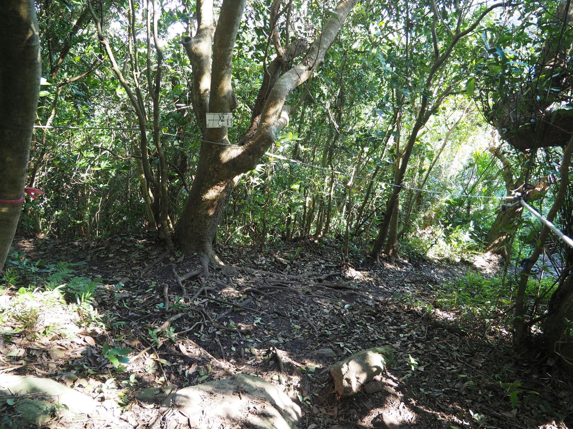
| Take the left dirt path from Zhanshan trail |
We take the stone paved trail and get to a point just a few steps away where a dirt trail diverging on the left. The dirt trail in fact goes parallel to the official paved trail. We prefer the dirt trail and take it, which goes up pretty steep at some points. It then goes just under the summit of Chaoyin-jian No.1 (潮音尖1號) and meets the paved trail. We get onto the paved trail and up to the summit (elev. 417m) to have a break at 11:16.
 |
| A view from Wangliao |
 |
| Going down Longxing trail by the cabin |
The last leg of our hike is to go down along the Longxing trail. Some sections of it is steep but not difficult to pass. We come down to a cabin at 14:41. A man in the house tells that he have lived there for meditation for many years except occasional leave to the town below. The dirt trail lasts for another 15 minutes and meets a paved road (elev. 186m). The peak of Yinghanling is now very high when looking back.
 |
| Looking back at Yinghanlin peak |
 |
| Going down between grave yards |
There are many cemeteries on the east hillside of the mountain. The road goes between grave yards and down to Longxing on No. 15 trunk road (台15線). In front of us finds a unobstucted view of Mt. Miantian-shan (面天山) and Danshui, which gets nearer as we go down. We come down to the trunk road at 15:24 and take right to Longxing bus stop for another few minutes. There are many bus service lines along the road. We take a #704 bus back to Luzhou MRT station, except the two who take another line to a station of MRT red line across the Danshui river.
 |
| Junction with No. 15 road |
-----------------------------------------------
We walked seven hours including breaks covering 8 kilometers. The total ascent and decent are 750 meters and 830 meters respectively. The route physical index is 23.
 |
| #704 bus back to Luzhou station |
The trails of Mt. Guanyin-shan, either official or non-official, are very good. The official trails maintained by the local government are almost all paved with stones and provided with good signage. The non-official trails are mostly dirt ones but equipped with safety ropes at almost all difficult or dangerous sections. I assume that volunteer hikers maintain such ropes. If you visit on a nice and clear day like us, you can enjoy the nice vistas from the Yinghanling summit. You could try such non-official trails of Guanyin-shan like this hike for more fun.


0 件のコメント:
コメントを投稿