 |
| 外文秀坑山山頂 |
新北市貢寮區の海岸に面した丘陵は、標高200m足らずの丘陵が続く。
4月初めこの地域の九份坑山を歩き、水返港山から貢寮山をへての下山を試みた。水返港山に登るべく台北一莊をへてすぐ近くまで来たが、この土地の所有者が通行を認めず、目的の山を目の前にして下山した。今回は、別のルートでこの山を訪れ,その稜線上から4月に歩いてきたすぐ近くの地点を下に見た。登山者に友好的な地権者ばかりでないことも事実だ。
 |
| 南から北へ歩く |
今回歩いた場所は、3月末4月初にボランティアがその道を整理した部分である。外文秀坑山は、水返港山から東に伸びる稜線上にあるピークで、
四年前に一度登ろうとした。ところが、長い間歩かれていないルートは、とても荒れており土地勘もないことがあり諦めた。今回は、整理されて間もなく、問題なく登頂できた。つまりは、二回訪れたが歩けなかった山々を歩くことができたわけだ。ただ、低山であり距離も長くないが、涼しい日々が続いた後の好天で、気温が上がり、その点で苦労した。
 |
| @水返港山山頂 |
----------------------
 |
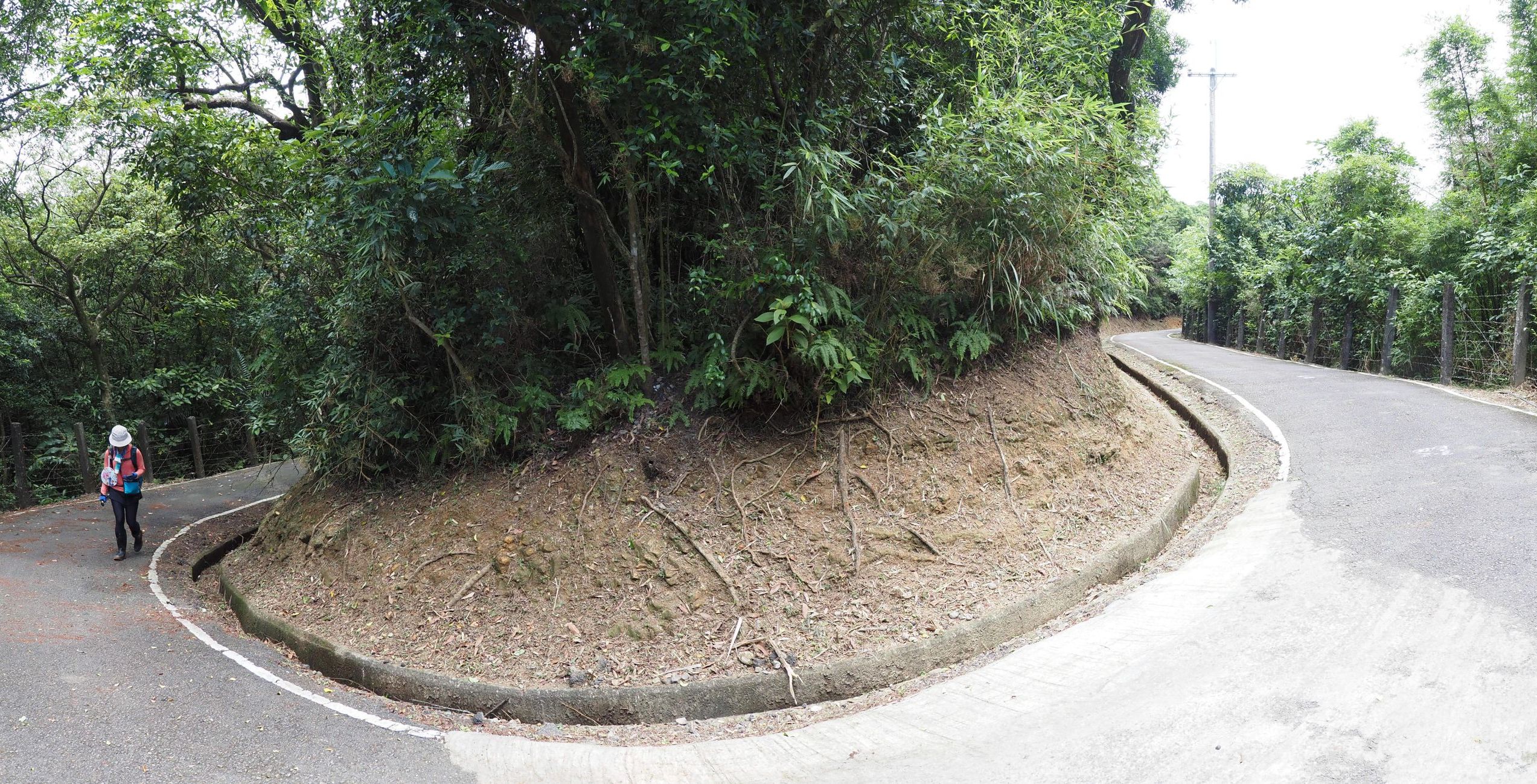
| Entire ridge line alongside Gene21+'s land, Mt. Waiwenxiukeng-shan on the left |
In late March and early April this year groups of volunteers came in this area and made nice clearing job to trails there. They include the trails to Mt. Jiufenkeng-shan (九份坑山) and trails passing these two peaks mentioned above. Thanks to the volunteers, we were able to walk along the trail from Mt. Gongliao-shan (貢寮山, elev. 60m) to Waiwenxiiukeng-shan. We made a short detour to Shuifengang-shan en route and down to Aodi in the end. So we made it to reach the two peaks at last!!
----------------------
 |
| Train #4148 at platform of Gongliao station |
Despite a short notice of this hike and today being a week day, eight friends showed up at Gongliao train station when I reached there a little after 9 o'clock by a local trail #4148. This is a rainy season of Taiwan now and we had rather rainy but cool days in raw. Today it has turned out sunny. We step out of the station and walk towards the trail head of Gongliao-shan, which is just a couple of hundreds meters away. We find a construction work in progress just by the trail head.
 |
| The staircase between the buildings leads to Mt. Gongliao-shan |
 |
| A new sign shows direction for Gongliao-shan |
At the top of staircase a brand new direction sign is attached to an electricity pole. We follow the trail indicated by the sign and step in a dirt and slippery path. The soil has soaked up rain water of the past few days and feels very soft through my boot sole. A short and steep climb has led us up to the summit of Gongliao-shan at at 9:27, just a ten minutes away from the train station.
 |
| Summit of Gongliao-shan |
 |
| Coming down to a farmer's house |
The trail from the summit goes down for about 10 minutes to reach a side of a house of farmers. We pass the front yard of the house and get onto a narrow path alongside an irrigation canal. The path goes around as the river below goes and comes to connect a stone paved trail to go up. The trail ascends between thin bamboos for a while. Our path leaves the stone paved trail and goes down steeply to the bottom of a valley. On our way down abandoned terrace rice paddies show up one after another. We cross the creak and then go up through another abandoned terrace paddies. The steep climb ends at a paved road by 10:10.
 |
| A narrow path along a canal |
 |
| A good stone paved trail |
 |
| Abandoned terrace rice paddy |
 |
| Up to a paved road |
 |
| A steep climb along a narrow path |
A mouth of another path up to our next destination, Shuifangang-shan opens just two or three hundred meters up ahead by the road. This path is very steep too and goes between thin bamboos. The sun shines brightly over us. This steep climb makes us sweat a lot. Our path gets into woods finally after several minutes of hard labor. A moderate climb leads us to a junction. To our left the path goes up to Shuifangang-shan. A eight-minute climb from the junction has brought us to the summit at 10:34.
 |
| Junction to Shuifangang-shan |
 |
| Summit of Shuifangang-shan |
The summit is surrounded by trees and offers no view. Besides there is no shadow, so we go back the trail to a high-voltage electric tower. The spot where the tower stands offers a good view as well as welcome breeze. We sit down by the tower and have a break. The coast line of Fulong (福隆) is visible. Beyond it a mountain range of
Mt. Laoliao-shan (荖寮山) to
Mt. Fulong-shan (福隆山) defines the skyline.
 |
| A good road going up |
 |
| Passing by a rear gate of Gene21+ |
A 25-minute walk along the gradually ascending road brings us to a junction on our left. This dirt path goes up in woods and connects an abandoned hiking trail on the ridge. We must be now on the boarder of the Gene21+. We walk for a few minutes to a flat field where a house stands at its corner. It feels breeze and we have a lunch break under trees there. From the side of the field we can see a place below the hill where we were denied access to where we are now and returned on our visit in early April. It is very short distance away.
 |
| Youyinggong shrine |
Youyinggong is a part of local belief system. It is supposed to give peace to the souls of deceased that have no relatives to tend to. In the early days of Taiwan Island development, many unidentifiable men and women died of conflicts, disease or famine. People collected bodies and buried them because they were afraid the deceased souls otherwise might cause misfortune. Youyinggong shrines were elected at such a bury spot of the souls of no name as this one.
 |
| A junction: left to Danli-shan, Right to Waiwenxiukeng-shan |
 |
| At the summit of Waiwenxiukeng-shan |
We follow the ridge trail to reach a junction at 12:49. Our original plan was to take left at the junction and go to Mt. Danli-shan (丹裡山) and back. The hot weather today makes us give up this plan. We directly go to Waiwenxiukeng-shan where we reach by 13:00. The summit was originally surrounded by trees but those trees in the direction towards the coast line were cut out. The cleared gap allows a good view, including
Mt. Meiyan-shan (美艷山), Mt. Huoyan-shan (火炎山) and fishing port of Aodi.
 |
| View from Waiwenxiukeng-shan |
 |
| Passing by another tower |
We leave Waiwenxiukeng-shan at 13:12. The trail soon pass by an electric tower and goes steeply down to the valley bottom. There is a tall waterfall in a short distance up stream. We first go to the waterfall to take a look. The volume of water is not much but it falls from a very high point. It is well worth a short detour. We go back to the junction and follow the stream down. The trail runs through water passage for a while. It may not be good to pass this section in heavy rain.
 |
| Bus for Keelung |
---------------------------
 |
| A view through the bus window |
Our hike lasted a little more than 5 hours, covering 7 kilometers. It was intended to be an easy hike. The unexpected hot weather made this easy hike not so easy after all. The sudden increase in temperature from the preceding cool days made more impact on us though the route itself is short, easy and enjoyable.


0 件のコメント:
コメントを投稿